Mandlstraße, Munich
Map
Gallery
Facts and practical information
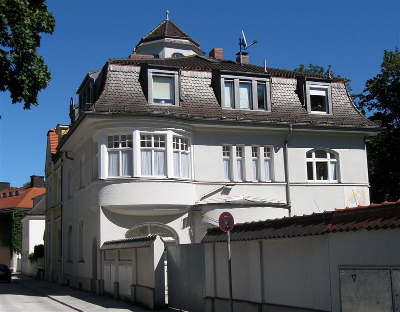
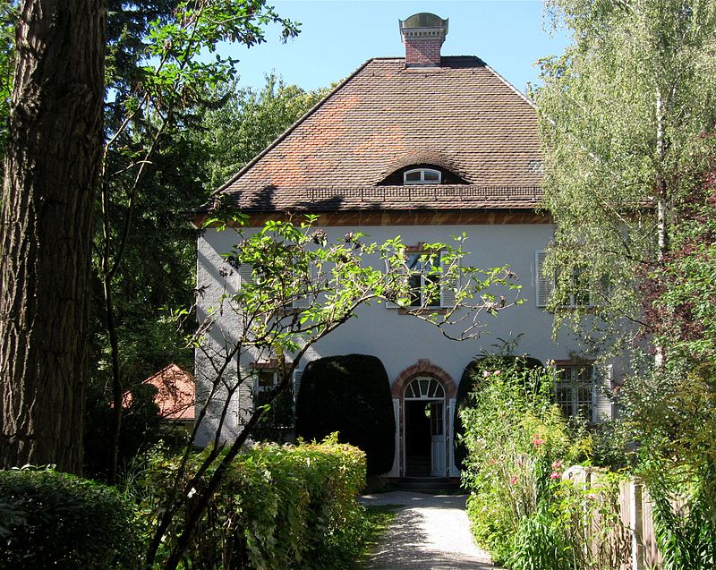
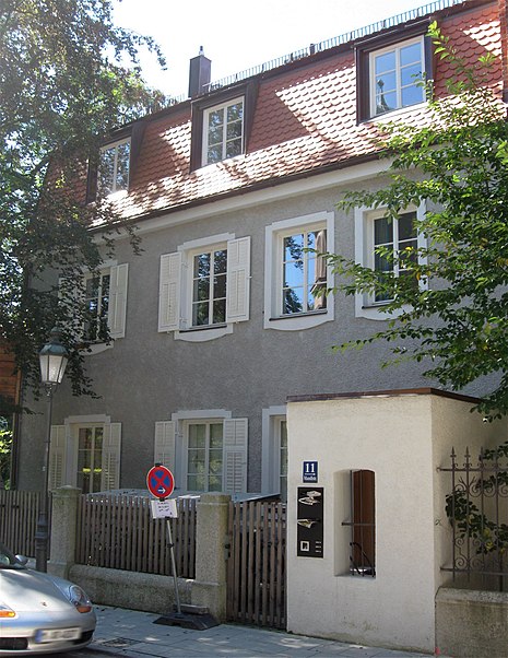
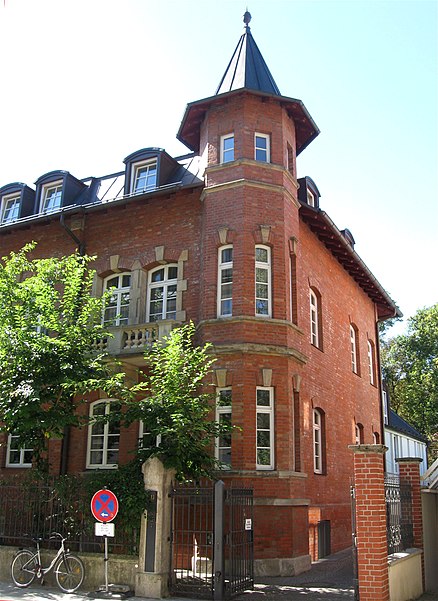
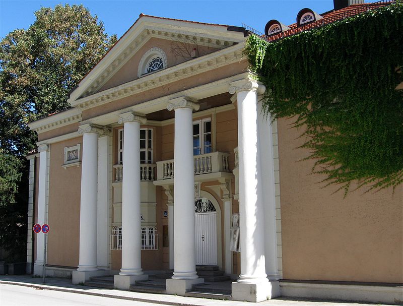
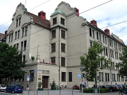
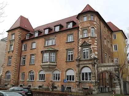
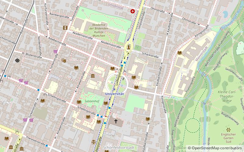
The Mandlstraße is a street in Munich's Schwabing district. It runs west of the Englischer Garten from the corner of Maria-Josepha-Straße / Königinstraße to the corner of Gunezrainerstraße / Biedersteiner Straße and forms the eastern edge of the protected building complex Alt-Schwabing. The street was named after Johann Freiherr von Mandl-Deutenhofer, chancellor and president of the court chamber in the service of the Bavarian elector Ferdinand Maria. ()
Address
Schwabing - Freimann (Münchner Freiheit)Munich
ContactAdd
Social media
Add
Day trips
Mandlstraße – popular in the area (distance from the attraction)
Nearby attractions include: Englischer Garten, Hohenzollernstraße, Feilitzschstraße, Siegestor.
Frequently Asked Questions (FAQ)
Which popular attractions are close to Mandlstraße?
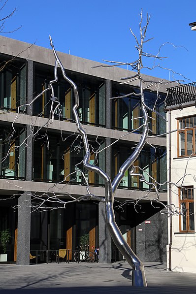
Nearby attractions include Maria-Josepha-Straße, Munich (1 min walk), Martiusstraße, Munich (4 min walk), Walking Man Sculpture, Munich (6 min walk), Heppel & Ettlich, Munich (6 min walk).
How to get to Mandlstraße by public transport?
The nearest stations to Mandlstraße:
Bus
Metro
Tram
Train
Bus
- Thiemestraße • Lines: 154, 54, 58, 68, N43, N44 (3 min walk)
- Hohenzollernstraße • Lines: 53, 54, 59, N40, N41, N43, N44, N45 (5 min walk)
Metro
- Giselastraße • Lines: U3, U6 (6 min walk)
- Münchner Freiheit • Lines: U3, U6 (7 min walk)
Tram
- Münchner Freiheit • Lines: 23 (8 min walk)
- Elisabethplatz • Lines: 27, 28, N27 (16 min walk)
Train
- Dietlindenstraße (17 min walk)


