Königinstraße, Munich
Map
Gallery
Facts and practical information
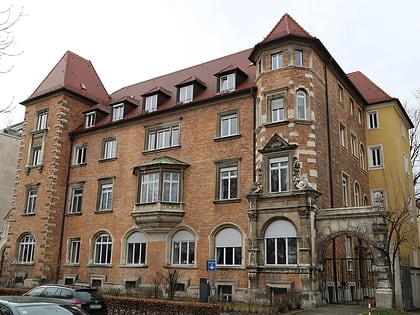
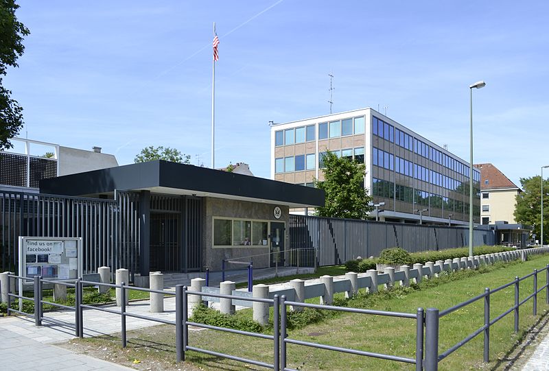
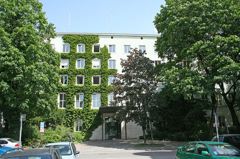
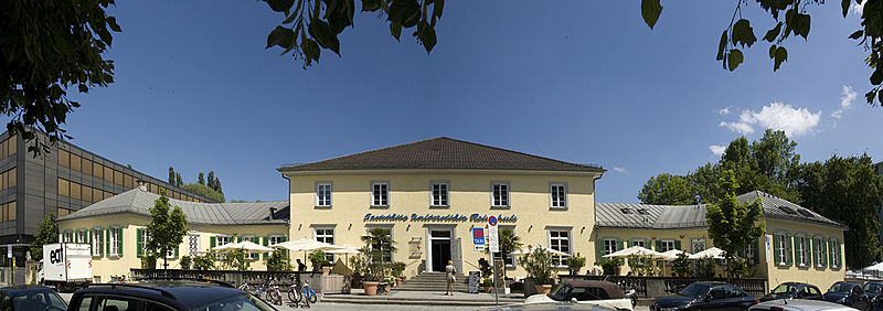
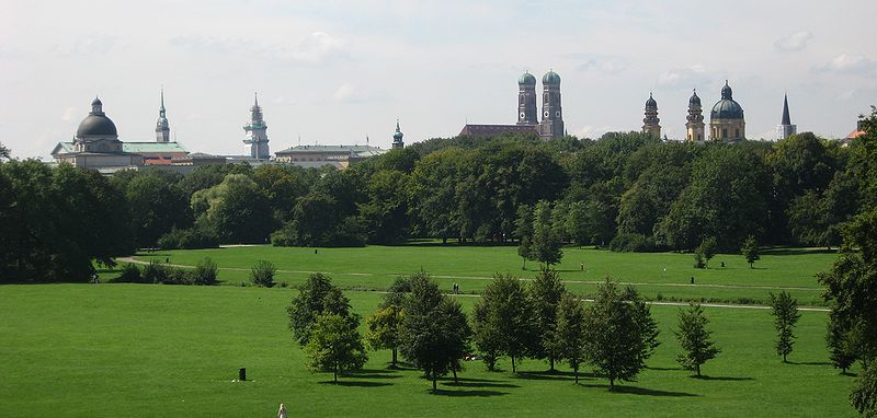
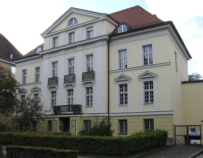
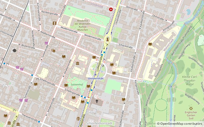
The Königinstraße is a street in Munich. It runs west of the Englischer Garten from the Von-der-Tann-Straße in the district of Maxvorstadt, to the north and to the Maria-Josepha-Straße and Mandlstraße in the Ensemble Alt-Schwabing. ()
Day trips
Königinstraße – popular in the area (distance from the attraction)
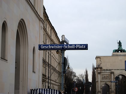
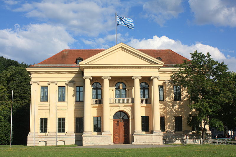
Nearby attractions include: Englischer Garten, Siegestor, Haus der Kunst, Prinz-Carl-Palais.
Frequently Asked Questions (FAQ)
Which popular attractions are close to Königinstraße?
Nearby attractions include Kunstsammlung des Herzoglichen Georgianums, Munich (3 min walk), Akademiegalerie, Munich (4 min walk), Ludwigskirche, Munich (5 min walk), Universität, Munich (5 min walk).
How to get to Königinstraße by public transport?
The nearest stations to Königinstraße:
Metro
Bus
Tram
Train
Metro
- Universität • Lines: U3, U6 (5 min walk)
- Giselastraße • Lines: U3, U6 (12 min walk)
Bus
- Siegestor • Lines: 154, 58, 68, N40, N41, N45 (5 min walk)
- Universität • Lines: 153, 154, 58, 68, N40, N41, N45 (6 min walk)
Tram
- Paradiesstraße • Lines: 16 (12 min walk)
- Nationalmuseum/Haus der Kunst • Lines: 16 (13 min walk)
Train
- Marienplatz (25 min walk)
- Karlsplatz (29 min walk)
