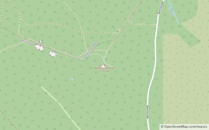
Waldhäuserriegel, Bavarian Forest National Park
Map
Facts and practical information
Waldhäuserriegel is a mountain of Bavaria, Germany. It is located northeast of the city of Grafenau and lies in the protected Core Zone of the Bavarian Forest National Park, only two kilometers from the border between Germany and the Czech Republic. The summit is above the tree line, but the slopes are almost completely covered in coniferous alpine forest. ()
Address
Bavarian Forest National Park
ContactAdd
Social media
Add
Getting there by public transportation
Public transportation stops near this location
- Bus
 Bus
Bus
- Calculate routeLusen, Waldhausreibe 13 min walk
- Calculate routeWaldhäuser, Kirche 27 min walk
Day trips


Frequently Asked Questions (FAQ)
How to get to Waldhäuserriegel by public transport?
The nearest stations to Waldhäuserriegel:
Bus
Bus
- Lusen, Waldhausreibe • Lines: 7594 (13 min walk)
- Waldhäuser, Kirche • Lines: 7594 (27 min walk)