Nockherstraße, Munich
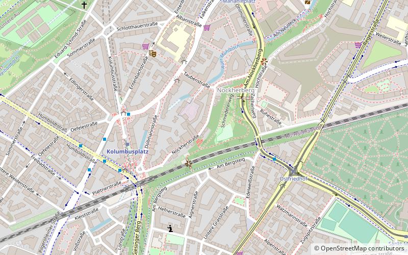
Map
Gallery
Facts and practical information
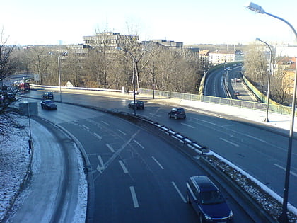
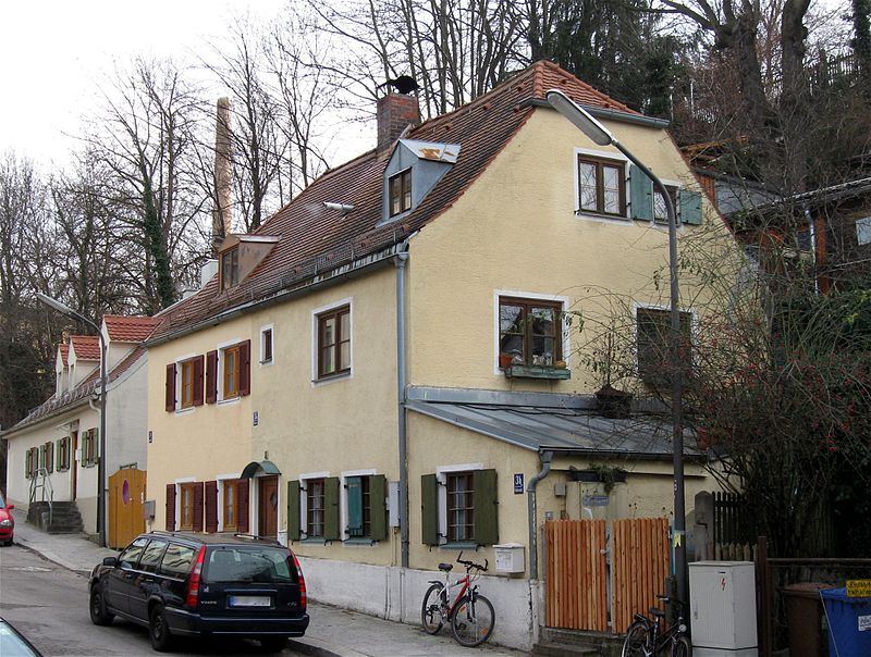
The Nockherstraße is a road located in the south of Au-Haidhausen, the 5th district of Munich, Germany. The former suburb of Au is located in the original flooding area of the Isar. The 500-meter-long road runs between the end of the Ohlmüllerstraße and the Kolumbusplatz at the foot of the Isar river terrace. About 400 people live in Nockherstraße. ()
Address
Au - Haidhausen (Au)Munich
ContactAdd
Social media
Add
Day trips
Nockherstraße – popular in the area (distance from the attraction)
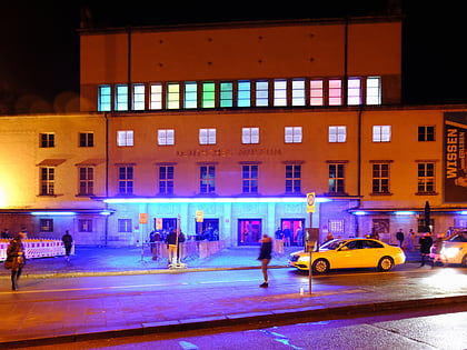
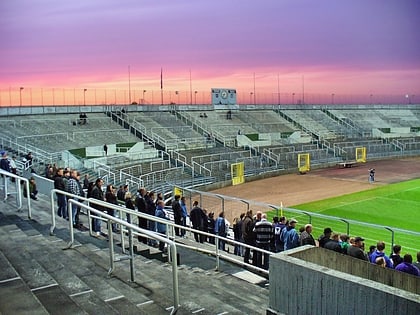
Nearby attractions include: Deutsches Museum, Blitz Club, Grünwalder Stadion, Wittelsbacherbrücke.
Frequently Asked Questions (FAQ)
Which popular attractions are close to Nockherstraße?
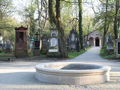
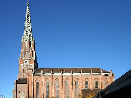
Nearby attractions include Paulaner Brewery, Munich (7 min walk), Maria-Hilf-Kirche, Munich (11 min walk), Mariahilfplatz, Munich (11 min walk), Auer Dult, Munich (11 min walk).
How to get to Nockherstraße by public transport?
The nearest stations to Nockherstraße:
Bus
Metro
Tram
Train
Bus
- Taubenstraße • Lines: 52 (4 min walk)
- Kolumbusplatz • Lines: 52, 58, N45 (4 min walk)
Metro
- Kolumbusplatz • Lines: U1, U2, U7, U8 (4 min walk)
- Silberhornstraße • Lines: U2, U7, U8 (10 min walk)
Tram
- Ostfriedhof • Lines: 18, 25, E7, N27 (5 min walk)
- Mariahilfplatz • Lines: 18, N27 (7 min walk)
Train
- Sankt-Martin-Straße (19 min walk)
- Rosenheimer Platz (23 min walk)


