Pelkovenstraße, Munich
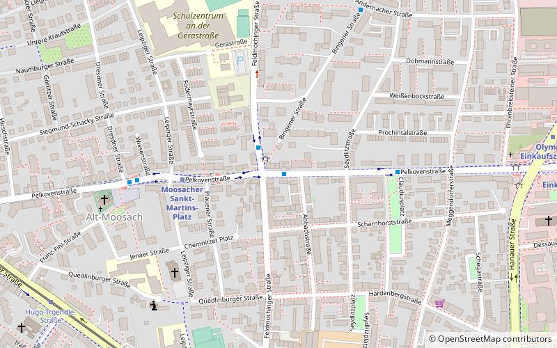
Map
Facts and practical information
The Pelkovenstraße is a 2 kilometer long inner city street in Munich's Moosach district. It leads from Dachauer Straße to the Riesstraße at the Olympic Press Center. It is named after the house of Pelkoven, who were given the lower court in 1648. ()
Address
Moosach (Alt Moosach)Munich
ContactAdd
Social media
Add
Day trips
Pelkovenstraße – popular in the area (distance from the attraction)
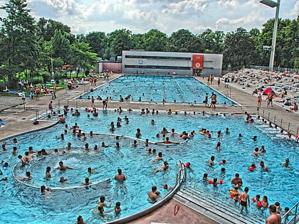
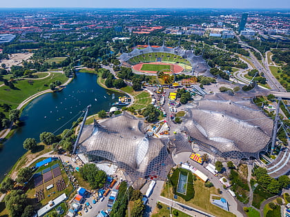
Nearby attractions include: Olympia-Einkaufszentrum, Dantebad, Olympic Stadium, Landshuter Allee.
Frequently Asked Questions (FAQ)
Which popular attractions are close to Pelkovenstraße?
Nearby attractions include Moosach, Munich (7 min walk), Hanauer Straße, Munich (9 min walk), Hochhaus Uptown München, Munich (15 min walk), Westfriedhof, Munich (19 min walk).
How to get to Pelkovenstraße by public transport?
The nearest stations to Pelkovenstraße:
Bus
Metro
Tram
Train
Bus
- Bingener Straße • Lines: 163, 175, N71, X36 (1 min walk)
- Claudiusplatz • Lines: 175, N71 (5 min walk)
Metro
- Moosacher Sankt-Martins-Platz • Lines: U3 (4 min walk)
- Olympia-Einkaufszentrum • Lines: U1, U3, U7 (11 min walk)
Tram
- Hugo-Troendle-Straße • Lines: 20, N20 (10 min walk)
- Wintrichring • Lines: 20, N20 (11 min walk)
Train
- Moosach (19 min walk)
- Fasanerie (29 min walk)

