Hugo Preuß Bridge, Berlin
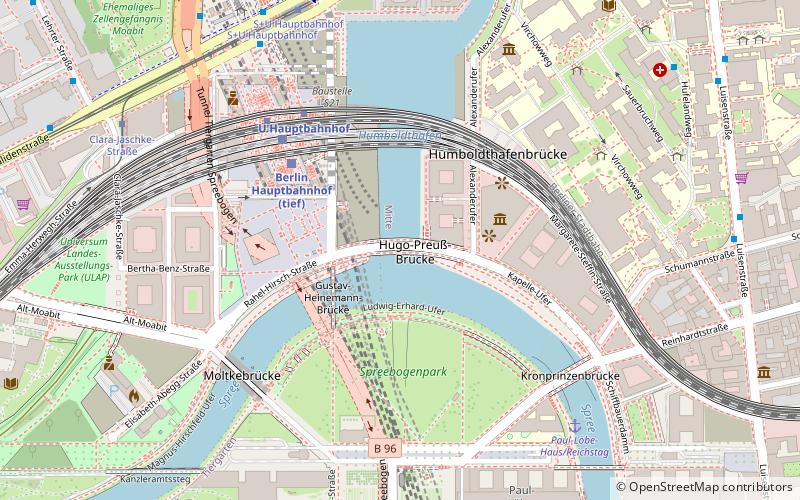
Map
Map

Facts and practical information
Coordinates: 52°31'25"N, 13°22'20"E
Address
MitteBerlin
ContactAdd
Social media
Add
Day trips
Hugo Preuß Bridge – popular in the area (distance from the attraction)
Nearby attractions include: Brandenburg Gate, Pariser Platz, Soviet War Memorial, Platz des 18. März.
Frequently Asked Questions (FAQ)
Which popular attractions are close to Hugo Preuß Bridge?
Nearby attractions include Gustav Heinemann Bridge, Berlin (2 min walk), Spreebogenpark, Berlin (3 min walk), Moltke Bridge, Berlin (5 min walk), Crown Prince Bridge, Berlin (5 min walk).
How to get to Hugo Preuß Bridge by public transport?
The nearest stations to Hugo Preuß Bridge:
Train
Metro
Tram
Bus
Train
- Berlin Central Station (4 min walk)
- Berlin Friedrichstraße (17 min walk)
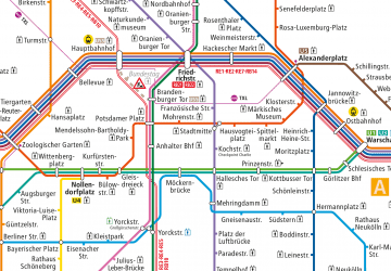
Metro
- U Hauptbahnhof • Lines: U5 (4 min walk)
- U Bundestag • Lines: U5 (6 min walk)
Tram
- S+U Hauptbahnhof • Lines: M10, M5, M8 (7 min walk)
- Clara-Jaschke-Straße • Lines: M10, M5, M8 (8 min walk)
Bus
- Perleberger Brücke • Lines: 123, 142 (27 min walk)

 Metro
Metro


