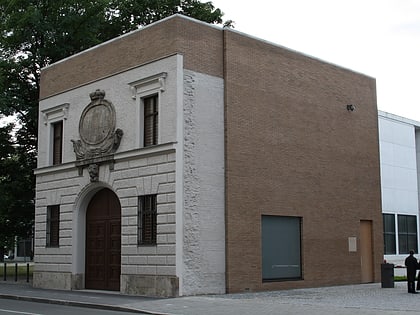
Türkenstraße, Munich
Map
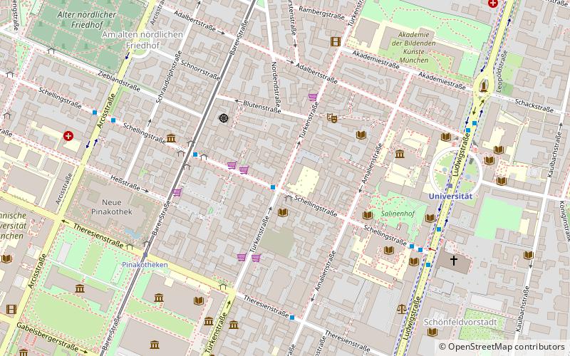
Map

Facts and practical information
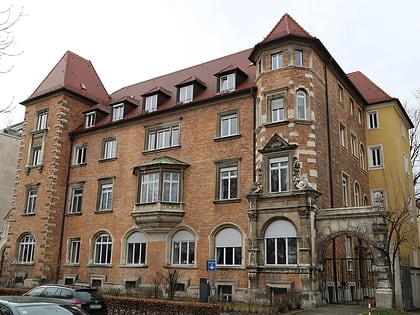
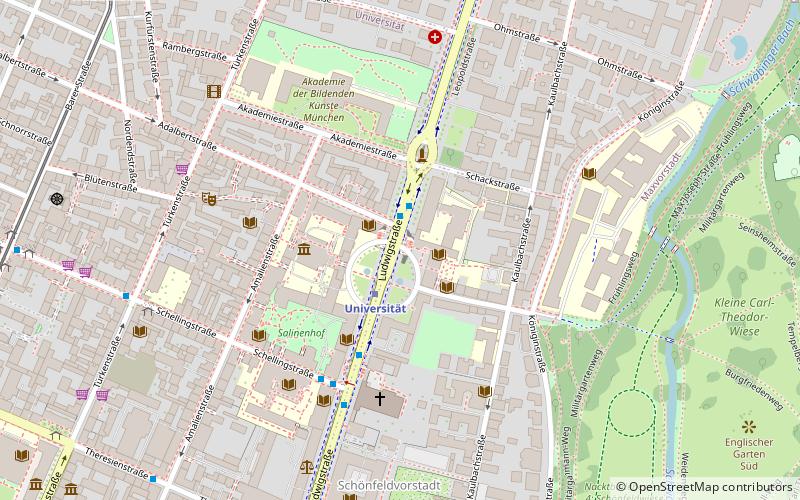
The Türkenstraße is an inner city street in Munich's district Maxvorstadt. It is named after the Türkengraben to which it ran. In the list of historical monuments in Munich, more than 30 objects are listed in the Türkenstraße. ()
Day trips
Türkenstraße – popular in the area (distance from the attraction)
Nearby attractions include: Alte Pinakothek, Neue Pinakothek, Museum Brandhorst, Pinakothek der Moderne.
Frequently Asked Questions (FAQ)
Which popular attractions are close to Türkenstraße?
Nearby attractions include Adalbertstraße, Munich (4 min walk), Geschwister-Scholl-Platz, Munich (5 min walk), Architekturgalerie München, Munich (6 min walk), Museum Brandhorst, Munich (6 min walk).
How to get to Türkenstraße by public transport?
The nearest stations to Türkenstraße:
Bus
Tram
Metro
Train
Bus
- Türkenstraße • Lines: 153, 154 (1 min walk)
- Schellingstraße • Lines: 153, 154 (4 min walk)
Tram
- Schellingstraße • Lines: 27, 28, N27 (4 min walk)
- Pinakotheken • Lines: 27, 28, N27 (6 min walk)
Metro
- Universität • Lines: U3, U6 (6 min walk)
- Odeonsplatz • Lines: U3, U4, U5, U6 (14 min walk)
Train
- Karlsplatz (24 min walk)
- Marienplatz (24 min walk)


