Portsmouth Damm, Duisburg
Map

Map

Facts and practical information
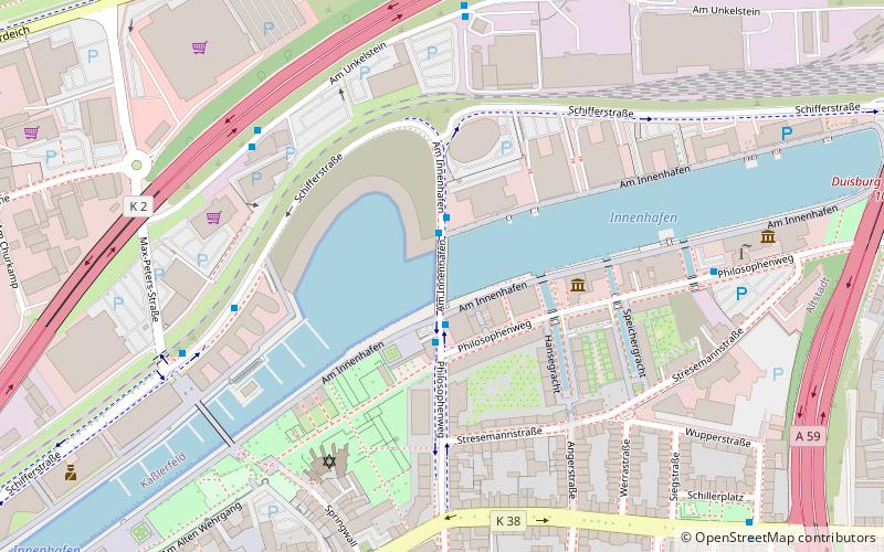
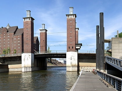
Portsmouth Damm is a 97-metre-long structure located in the Inner Harbour of Duisburg, Germany. It was completed in 1998. It links both sides of the Inner Harbour, whilst also separating the rear harbour which is maintained at a higher level. On 18 August 2000 it was named after the English city of Portsmouth, with which Duisburg had been twinned for fifty years. The architects were Norman Foster and Partners. ()
Address
Duisburg Mitte (Kasslerfeld)Duisburg
ContactAdd
Social media
Add
Day trips
Portsmouth Damm – popular in the area (distance from the attraction)
Nearby attractions include: Museum Küppersmühle, Die Säule, Lehmbruck Museum, Theater am Marientor.
Frequently Asked Questions (FAQ)
Which popular attractions are close to Portsmouth Damm?
Nearby attractions include Duisburg Inner Harbour, Duisburg (3 min walk), Duisburg Canals, Duisburg (4 min walk), Museum Küppersmühle, Duisburg (7 min walk), Karmelkirche, Duisburg (11 min walk).
How to get to Portsmouth Damm by public transport?
The nearest stations to Portsmouth Damm:
Bus
Tram
Metro
Train
Bus
- Am Unkelstein • Lines: 934 (5 min walk)
- Firma Schmitz • Lines: 934 (6 min walk)
Tram
- Rathaus • Lines: 901 (13 min walk)
- König-Heinrich-Platz • Lines: 901, 903 (14 min walk)
Metro
- König-Heinrich-Platz • Lines: U79 (14 min walk)
- Duissern • Lines: U79 (17 min walk)
Train
- Duisburg Hauptbahnhof (22 min walk)


