Christianskirche, Hamburg
Map
Gallery
Facts and practical information
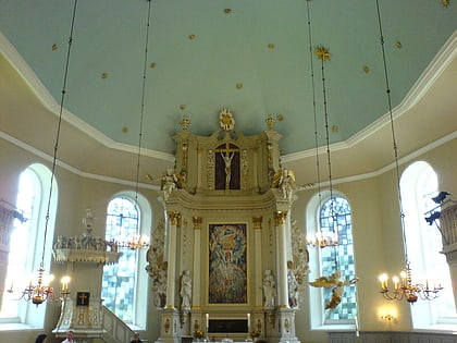
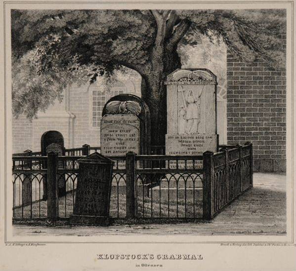
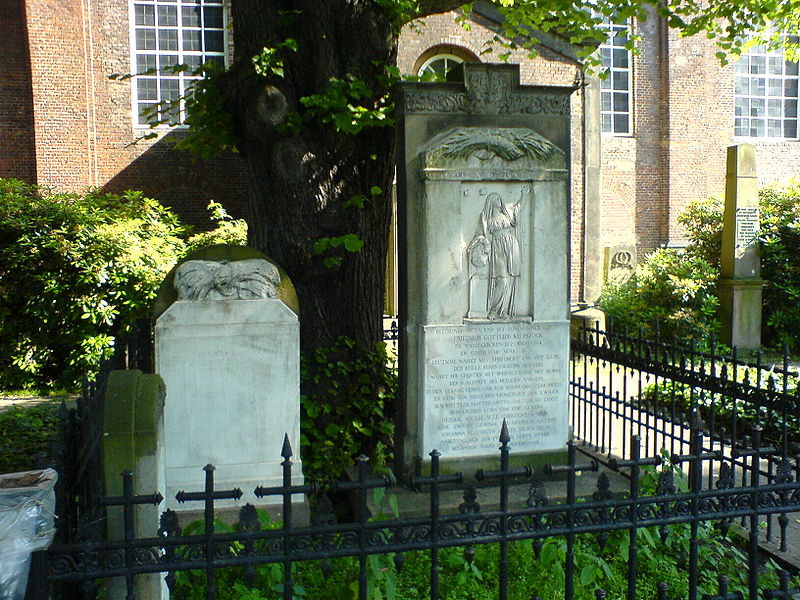
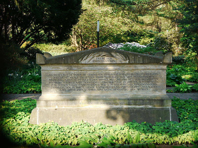
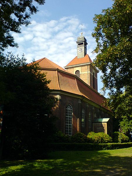
Christianskirche in Hamburg's Ottensen district is a Baroque building dating from 1738; the congregation belongs to the Hamburg-West/Südholstein church district of the Evangelical Lutheran Church in North Germany. Since 1803, the grave of the poet Friedrich Gottlieb Klopstock has been located in the churchyard, which is why the Palmaille-Elbchaussee road that runs past it to the south over a length of about 270 m was named Klopstockstraße in 1846, and why the name Klopstockkirche has also become customary for the church in the meantime.
Architectural style: BaroqueCoordinates: 53°32'49"N, 9°55'58"E
Day trips
Christianskirche – popular in the area (distance from the attraction)
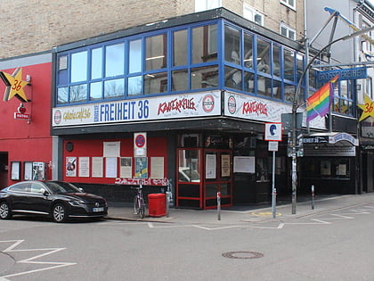
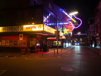
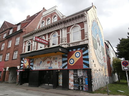
Nearby attractions include: Große Freiheit 36, Kaiserkeller, Gruenspan, Altonaer Museum.
Frequently Asked Questions (FAQ)
Which popular attractions are close to Christianskirche?
Nearby attractions include Rathaus Altona, Hamburg (3 min walk), Altonaer Theater, Hamburg (4 min walk), Altonaer Museum, Hamburg (4 min walk), Altonaer Balkon, Hamburg (5 min walk).
How to get to Christianskirche by public transport?
The nearest stations to Christianskirche:
Bus
Ferry
Light rail
Train
Bus
- Rathaus Altona • Lines: 111, 112, 113, 15, 2 (3 min walk)
- Elbberg • Lines: 111, 113 (4 min walk)
Ferry
- Dockland • Lines: 61, 62 (8 min walk)
- Neumühlen • Lines: 62 (21 min walk)
Light rail
- Hamburg-Altona • Lines: S1, S11, S2, S3, S31 (11 min walk)
- Königstraße • Lines: S1, S2, S3 (12 min walk)
Train
- Hamburg-Altona (13 min walk)
