Vikram Vihar, Delhi
Map
Facts and practical information
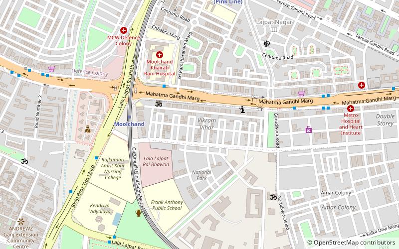
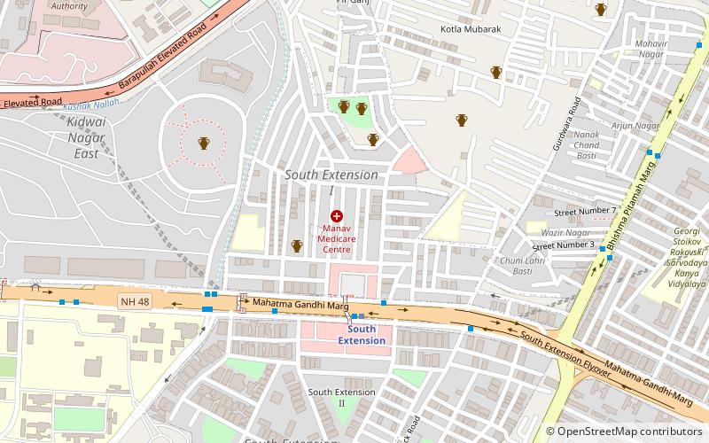
Vikram Vihar is a residential colony located in the Lajpat Nagar area of New Delhi, Delhi, India. The colony is adjoined with other residential and commercial spaces including National Park, Guru Nanak Market, Old Double Storey, Dayanand Colony and Amar Colony. Vikram Vihar is well-connected to the Delhi Metro and the nearest metro station is the Moolchand Metro station on the Violet line. Hotel Park Inn is also located in the same vicinity. ()
Coordinates: 28°33'51"N, 77°14'14"E
Address
South Delhi (Defence Colony)Delhi
ContactAdd
Social media
Add
Getting there by public transportation
Public transportation stops near this location
- Metro
- Bus
- Train
 Metro
Metro
- Calculate routeMoolchand Hospital 4 min walk
- Calculate routeGupta Market 7 min walk
- Calculate routeRing Road 7 min walk
- Calculate routeCentral School 8 min walk
- Calculate routeMoolchand 5 min walk
- Calculate routeLajpat Nagar 11 min walk
- Calculate routeKailash Colony 18 min walk
- Calculate routeLajpat Nagar 29 min walk
- Calculate routeSewa Nagar 31 min walk
Maps Metro
Metro
MetroDay trips


Frequently Asked Questions (FAQ)
Which popular attractions are close to Vikram Vihar?
Nearby attractions include ISKCON Temple, Delhi (15 min walk), Manesar, Delhi (16 min walk), Defence Colony, Delhi (16 min walk), Dayanand Colony, Delhi (17 min walk).
How to get to Vikram Vihar by public transport?
The nearest stations to Vikram Vihar:
Bus
Metro
Train
Bus
- Moolchand Hospital • Lines: 411, 414, 416, 429, 864 (4 min walk)
- Gupta Market • Lines: (+) Tms, 055, 323, 392, 400, 411, 413, 414, 416, 433, 450, 451, 460, 47, 479, 479A, 47A, 480, 507, 507A, 518, 542, 543, 543A, 543B, 543Ext, 567, 611, 611Ext, 711, 743, 984A, Ms (7 min walk)
Metro
- Moolchand • Lines: Violet Line (5 min walk)
- Lajpat Nagar • Lines: Pink Line, Violet Line (11 min walk)
Train
- Lajpat Nagar (29 min walk)
- Sewa Nagar (31 min walk)