Rocca Paolina, Perugia
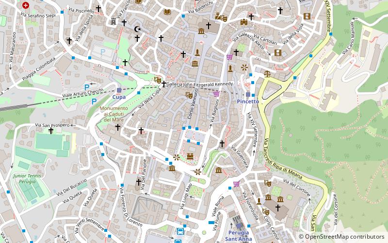
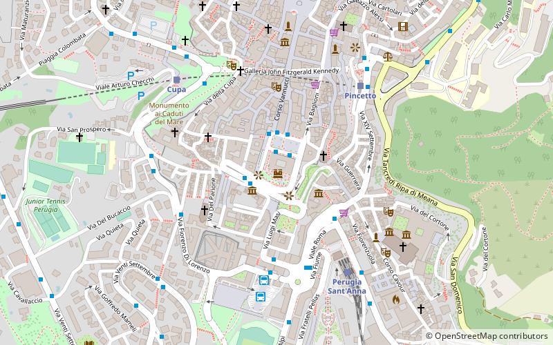
Map
Gallery
Facts and practical information
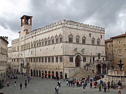
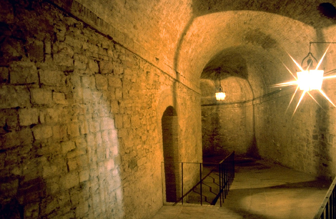
The Rocca Paolina was a Renaissance fortress in Perugia, built in 1540-1543 for Pope Paul III to designs by Antonio da Sangallo the Younger. It destroyed a large number of Etruscan, Roman and medieval buildings, including the Baglioni family's houses in the burgh of Santa Giuliana as well as over a hundred tower-houses, gates, churches and monasteries. It turned the former streets of the historic city centre into underground passageways, which are now open to the public. ()
Day trips
Rocca Paolina – popular in the area (distance from the attraction)
Nearby attractions include: Palazzo dei Priori, Galleria Nazionale dell'Umbria, Fontana Maggiore, Palazzo della Provincia e della Prefettura.
Frequently Asked Questions (FAQ)
Which popular attractions are close to Rocca Paolina?
Nearby attractions include Palazzo della Provincia e della Prefettura, Perugia (1 min walk), Porta Marzia, Perugia (1 min walk), Palazzo della Penna museo civico, Perugia (2 min walk), Palazzo Donini, Perugia (2 min walk).
How to get to Rocca Paolina by public transport?
The nearest stations to Rocca Paolina:
Bus
Train
Bus
- P. Italia • Lines: G, H, I (2 min walk)
- Via Guglielmo Marconi • Lines: A, D, Linea L - P. Partigiani => Cordi (4 min walk)
Train
- Pincetto (5 min walk)
- Perugia Sant'Anna (5 min walk)

