Monte Duranno, Dolomites

Gallery (1)
Map
Map
Facts and practical information
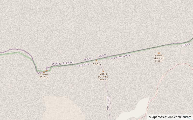
Monte Duranno is the peak in the Karnicki Alps in Italy. It lies on the border of two provinces: Pordenone and Belluno. This peak belongs to the group of southern Karnicki Alps and is adjacent to the highest peak of this group - Cima dei Preti.
Address
Dolomites
ContactAdd
Social media
Add
Day trips


