Palazzo Imperiale, Savona
Map

Map

Facts and practical information
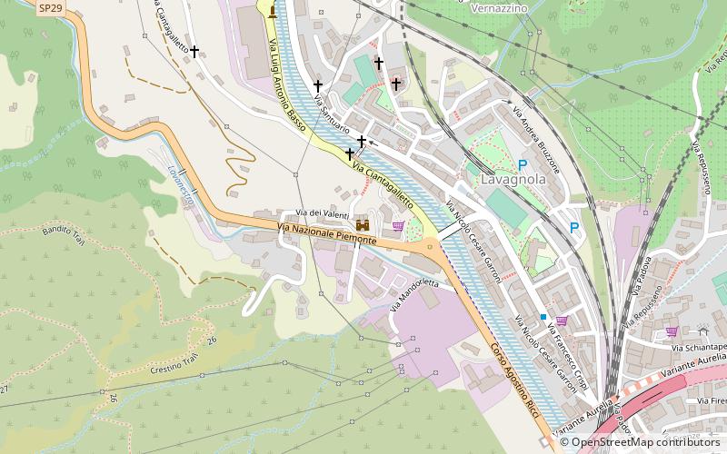
Palazzo Imperiale stands along the road from Savona to the Colle di Cadibona, at the confluence of the Letimbro and Lavanestro valleys. It was named after Francesco Maria Imperiale, who owned it in the 18th century. It is also called Migliardi Palace or Bertani Palace, after the names of the other families who owned it over the centuries.
Coordinates: 44°19'16"N, 8°27'56"E
Address
Savona
ContactAdd
Social media
Add
Day trips
Palazzo Imperiale – popular in the area (distance from the attraction)
Nearby attractions include: Archaeological Museum of Savona, Fortezza del Priamar, Cathedral of the Assumption, Cappella Sistina.
Frequently Asked Questions (FAQ)
Which popular attractions are close to Palazzo Imperiale?
Nearby attractions include Church of Holy Mary of Grace, Savona (3 min walk), Cappella di San Martino, Savona (3 min walk), Oratorio di San Dalmazio, Savona (5 min walk), Monastero di Santa Teresa, Savona (14 min walk).
How to get to Palazzo Imperiale by public transport?
The nearest stations to Palazzo Imperiale:
Bus
Train
Bus
- Savona, Piazza Aldo Moro • Lines: 404, 464, 494, 495, 514, 515, N404, N494 (25 min walk)
- stazione FS • Lines: 7, 7/ (25 min walk)
Train
- Savona (26 min walk)


