Ponte Maggiore, Ascoli Piceno
Map

Map

Facts and practical information
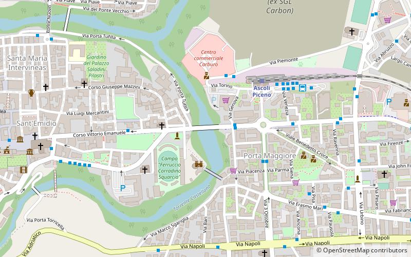
Ascoli Piceno's Ponte Maggiore, crossing the Castellano stream, connects the historic center to the Porta Maggiore district. Its arches face the Ponte di Cecco bridge, and from its entire street level it is possible to glimpse the Malatestian Fortress. It is part of the ancient route of the Via Salaria, which remained in use until the construction of the northern ring road in the 1960s.
Coordinates: 42°51'14"N, 13°35'8"E
Address
Viale IndipendenzaAscoli Piceno 63100
ContactAdd
Social media
Add
Day trips
Ponte Maggiore – popular in the area (distance from the attraction)
Nearby attractions include: Stadio Cino e Lillo Del Duca, Santa Maria Inter Vineas, St. Francis of Assisi Church, Piazza Arringo.
Frequently Asked Questions (FAQ)
Which popular attractions are close to Ponte Maggiore?
Nearby attractions include Ponte di Cecco, Ascoli Piceno (2 min walk), Forte Malatesta, Ascoli Piceno (3 min walk), San Vittore, Ascoli Piceno (4 min walk), Giardino Botanico, Ascoli Piceno (8 min walk).
How to get to Ponte Maggiore by public transport?
The nearest stations to Ponte Maggiore:
Train
Train
- Ascoli Piceno (4 min walk)
- San Filippo (18 min walk)


