Castello di Camino, Camino

Gallery (1)
Map
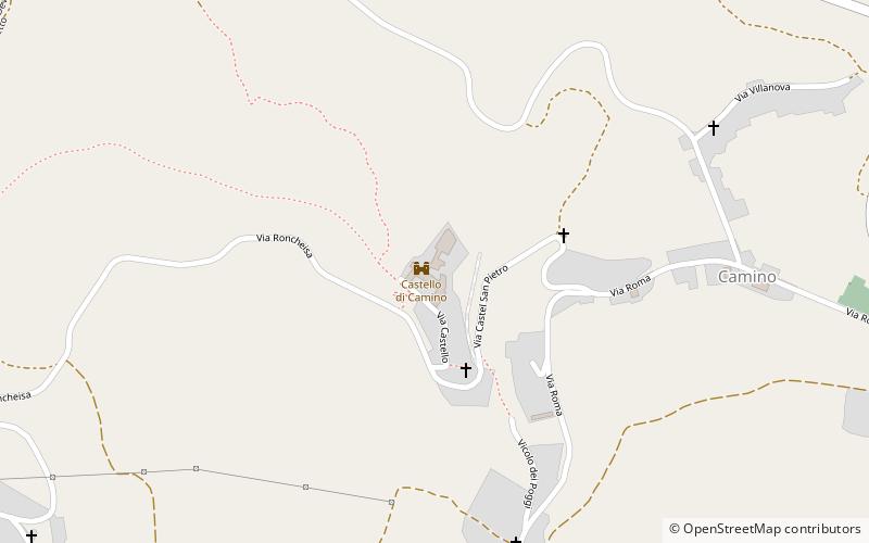
Map
Facts and practical information
Castello di Camino (address: Via Castello 30) is a place located in Camino (Piedmont region) and belongs to the category of forts and castles.
It is situated at an altitude of 1073 feet, and its geographical coordinates are 45°9'44"N latitude and 8°16'52"E longitude.
Among other places and attractions worth visiting in the area are: Church of St Catherine of Alexandria, Trino (church, 60 min walk), Chiesa di San Michele in Insula, Trino (church, 67 min walk), Palazzolo Vercellese (locality, 72 min walk).
Coordinates: 45°9'44"N, 8°16'52"E
Day trips