Parco Archeologico "Enrico Fiumi", Volterra

Gallery (2)
Map


Map
Gallery
Facts and practical information
Enrico Fiumi Park is a green area in the center of the city of Volterra, in the province of Pisa.
The name comes from the museum's director Guarnacci.
It is bordered by the Medici Fortress and the Etruscan walls. Within the park itself is an Etruscan archaeological area.
Elevation: 1785 ft a.s.l.Coordinates: 43°24'3"N, 10°51'41"E
Address
Via del CastelloVolterra
Contact
+39 328 070 7834
Social media
Add
Getting there by public transportation
Public transportation stops near this location
- Bus
 Bus
Bus
- Calculate routeParcheggio Bus 10 min walk
Day trips
Parco Archeologico "Enrico Fiumi" – popular in the area (distance from the attraction)
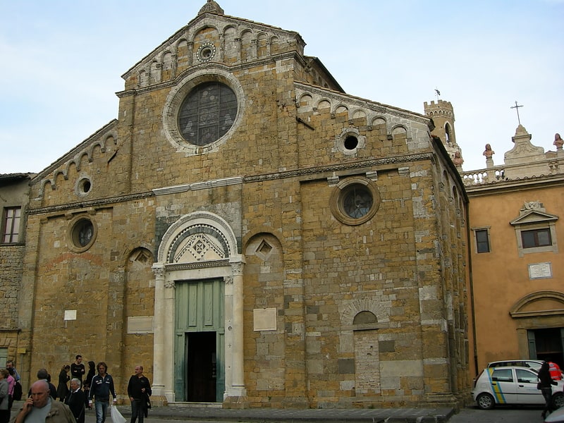
Nearby attractions include: Volterra Cathedral, Volterra Baptistery of San Giovanni, Abbey of Sts. Justin and Clement, San Francesco.


Frequently Asked Questions (FAQ)
Which popular attractions are close to Parco Archeologico "Enrico Fiumi"?
Nearby attractions include Palazzo Cangini Westinghouse, Volterra (1 min walk), Oratorio di Sant'Antonio Abate, Volterra (2 min walk), Museo della Tortura, Volterra (3 min walk), Palazzo dei Priori, Volterra (4 min walk).
How to get to Parco Archeologico "Enrico Fiumi" by public transport?
The nearest stations to Parco Archeologico "Enrico Fiumi":
Bus
Bus
- Parcheggio Bus (10 min walk)