Porta Santa Croce, Reggio Emilia
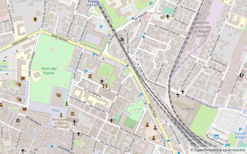
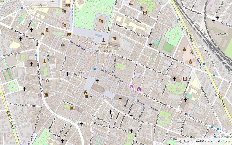
Map

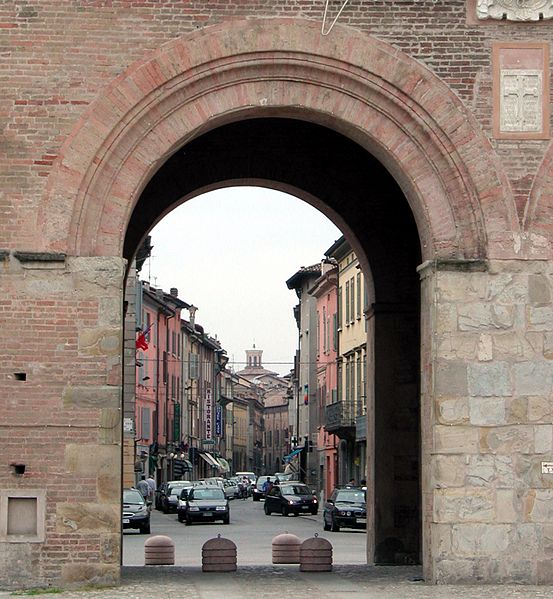
Gallery

Facts and practical information
Porta Santa Croce is one of the gates of the walls of Reggio nell'Emilia, which correspond as a perimeter to the current ring roads. It is the only one among the gates and posterns of Reggio nell'Emilia to have been saved from the demolitions that affected the walls in the late 1800s.
Coordinates: 44°42'7"N, 10°38'9"E
Day trips
Porta Santa Croce – popular in the area (distance from the attraction)
Nearby attractions include: PalaBigi, Museo del Tricolore, Teatro Municipale, Basilica di San Prospero.
Frequently Asked Questions (FAQ)
Which popular attractions are close to Porta Santa Croce?
Nearby attractions include Teatro Municipale, Reggio Emilia (7 min walk), Palazzo Tirelli, Reggio Emilia (8 min walk), Palazzo Spalletti-Trivelli, Reggio Emilia (8 min walk), Teatro Cavallerizza, Reggio Emilia (10 min walk).
How to get to Porta Santa Croce by public transport?
The nearest stations to Porta Santa Croce:
Bus
Train
Bus
- Porta S. Croce • Lines: 3, 9 (2 min walk)
- Inc. Via Spani • Lines: 10, 11, 12, 13, 5 (4 min walk)
Train
- Reggio Via Fanti (8 min walk)
- Reggio Emilia (12 min walk)


