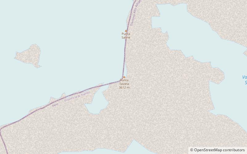
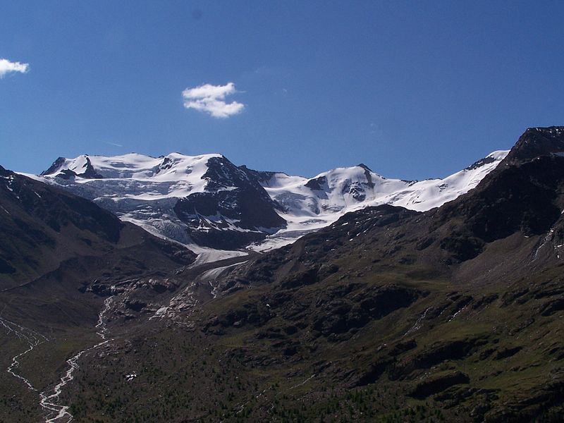
Punta Taviela, Stelvio National Park

Gallery (2)
Map
Map
Gallery
Facts and practical information
Punta Taviela is a mountain of the Ortles-Cevedale Group in the southern Rhaetian Alps, located between Lombardy and Trentino.
Coordinates: 46°23'19"N, 10°36'59"E
Address
Stelvio National Park
ContactAdd
Social media
Add
Day trips


