Museo Archeologico dell’Agro Falisco, Civita Castellana
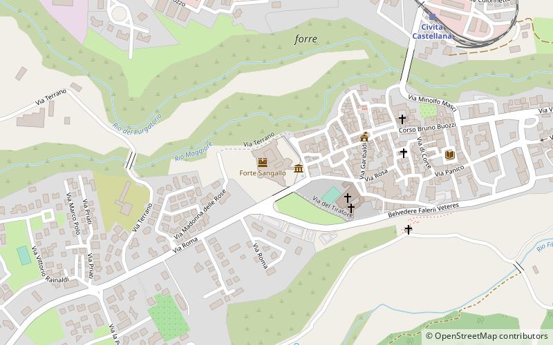
Map

Map

Facts and practical information
Museo Archeologico dell’Agro Falisco (address: Via Del Forte) is a place located in Civita Castellana (Lazio region) and belongs to the category of history museum, museum.
It is situated at an altitude of 499 feet, and its geographical coordinates are 42°17'17"N latitude and 12°24'31"E longitude.
Among other places and attractions worth visiting in the area are: Forte Sangallo (historical place, 1 min walk), The Cathedral of S. Maria Maggiore (forts and castles, 3 min walk), Falerii Novi, Fabrica di Roma (historical place, 68 min walk).
Coordinates: 42°17'17"N, 12°24'31"E
Day trips
Museo Archeologico dell’Agro Falisco – popular in the area (distance from the attraction)
Nearby attractions include: Castello Borgia, Basilica di Sant'Elia, The Cathedral of S. Maria Maggiore, Nepi Cathedral.
Frequently Asked Questions (FAQ)
Which popular attractions are close to Museo Archeologico dell’Agro Falisco?
Nearby attractions include Forte Sangallo, Civita Castellana (1 min walk), The Cathedral of S. Maria Maggiore, Civita Castellana (3 min walk).


