Castellum aquae, Pompeii
Map

Gallery

Facts and practical information
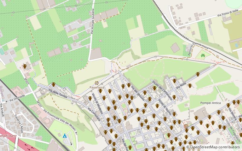
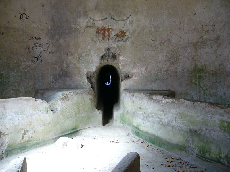
The Castellum Aquae is a Roman-era building buried by the eruption of Vesuvius in 79 and found as a result of archaeological excavations in ancient Pompeii: its function was to collect drinking water and distribute it to the city's water supply.
Coordinates: 40°45'12"N, 14°29'3"E
Address
Pompeii
ContactAdd
Social media
Add
Day trips
Castellum aquae – popular in the area (distance from the attraction)
Nearby attractions include: House of the Faun, Temple of Jupiter, Suburban Baths, Temple of Isis.
Frequently Asked Questions (FAQ)
Which popular attractions are close to Castellum aquae?
Nearby attractions include House of the Prince of Naples, Pompeii (2 min walk), Casa dell'Ara Massima, Pompeii (2 min walk), House of the Gilded Cupids, Pompeii (2 min walk), Casa dei Dioscuri, Pompeii (3 min walk).
How to get to Castellum aquae by public transport?
The nearest stations to Castellum aquae:
Light rail
Bus
Train
Light rail
- Pompei Scavi - Villa dei Misteri • Lines: 14 (9 min walk)
- Villa Regina • Lines: 14 (20 min walk)
Bus
- Torre Annunziata Via Plinio • Lines: D, Marra - Novartis, Novartis - Marra (23 min walk)
- Torre Annunziata Piazza Imbriani • Lines: D, Novartis - Marra (27 min walk)
Train
- Pompei (27 min walk)
- Torre Annunziata Centrale (30 min walk)


