Abbazia di San Donato, Sesto Calende

Gallery (2)
Map

Map
Gallery
Facts and practical information
Abbazia di San Donato is a place located in Sesto Calende (Lombardy region) and belongs to the category of church.
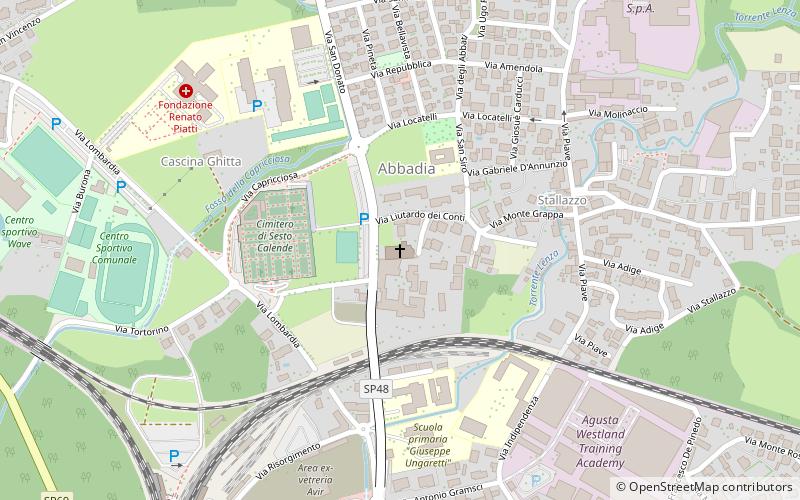
It is situated at an altitude of 692 feet, and its geographical coordinates are 45°43'48"N latitude and 8°37'59"E longitude.
Among other places and attractions worth visiting in the area are: La Marna (nightlife, 12 min walk), Museo Gottard Park, Castelletto sopra Ticino (specialty museum, 46 min walk), Mercallo (locality, 64 min walk).
Coordinates: 45°43'48"N, 8°37'59"E
Day trips


