San Marco, Venice
Map
Map

Facts and practical information
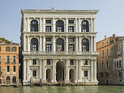
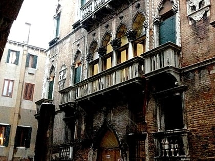
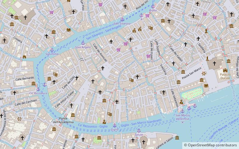
San Marco is one of the six sestieri of Venice, lying in the heart of the city as the main place of Venice. San Marco also includes the island of San Giorgio Maggiore. Although the district includes Saint Mark's Square, that was never administered as part of the sestiere. ()
Address
San MarcoVenice
ContactAdd
Social media
Add
Day trips
San Marco – popular in the area (distance from the attraction)
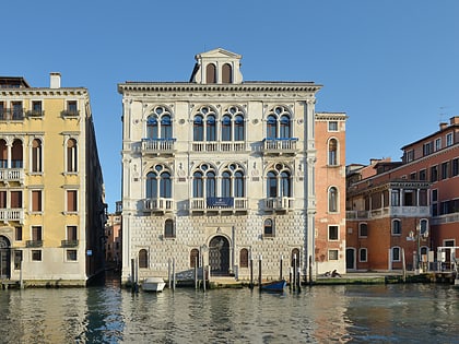
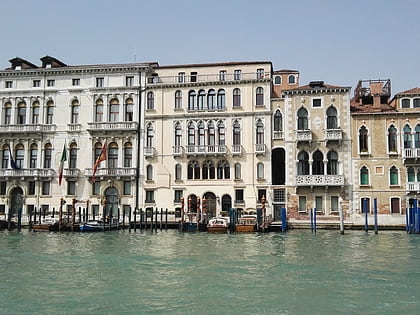
Nearby attractions include: Palazzo Contarini Fasan, Palazzo Bellavite, Palazzo D'Anna Viaro Martinengo Volpi di Misurata, Scala Contarini del Bovolo.
Frequently Asked Questions (FAQ)
Which popular attractions are close to San Marco?
Nearby attractions include Teatro La Fenice, Venice (2 min walk), Oratorio di Sant'Angelo degli Zoppi, Venice (2 min walk), San Fantin, Venice (2 min walk), Bugno Art Gallery, Venice (2 min walk).
How to get to San Marco by public transport?
The nearest stations to San Marco:
Ferry
Bus
Tram
Train
Ferry
- Sant'Angelo • Lines: 1, A (5 min walk)
- Giglio • Lines: 1, A (5 min walk)
Bus
- Venezia B1 • Lines: 10, 19, 72 (19 min walk)
- Venezia A1 • Lines: 5 (19 min walk)
Tram
- Piazzale Roma • Lines: T1 (19 min walk)
Train
- Venezia Santa Lucia (20 min walk)
- Piazzale Roma (21 min walk)


