Franciscan Friary, Bolzano
Map

Map

Facts and practical information
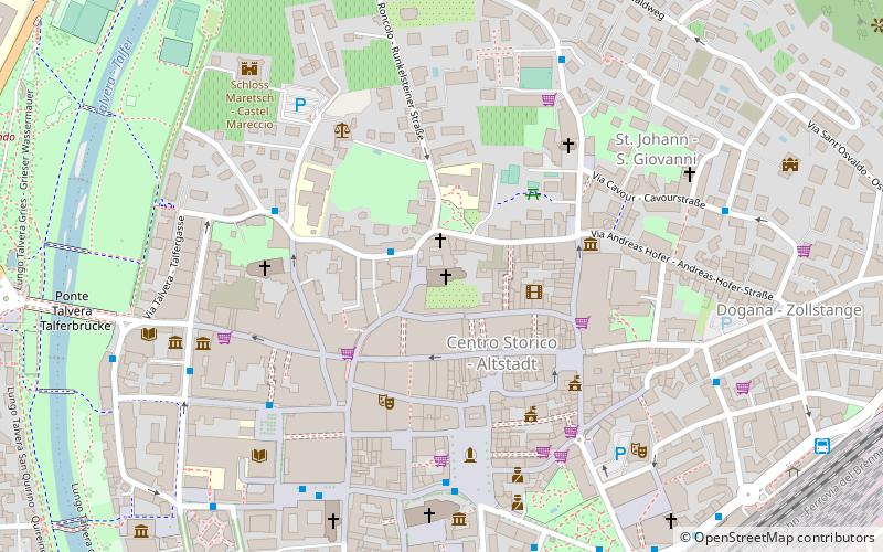
The Franciscan Friary, Bolzano is a Franciscan friary in the city of Bolzano, in South Tyrol, northern Italy. It was founded in 1221, less than a century after Bolzano was refounded as a trading centre on the important Brenner route connecting the March of Verona and Italy with the Holy Roman Empire north of The Alps. ()
Local name: Chiesa dei FrancescaniCoordinates: 46°30'3"N, 11°21'15"E
Day trips
Franciscan Friary – popular in the area (distance from the attraction)
Nearby attractions include: Runkelstein Castle, Siegesdenkmal, South Tyrol Alpine Club, Museion.
Frequently Asked Questions (FAQ)
Which popular attractions are close to Franciscan Friary?
Nearby attractions include Mariensäule, Bolzano (2 min walk), Museo Mercantile - Merkantilmuseum, Bolzano (3 min walk), Palais Menz, Bolzano (4 min walk), South Tyrol Museum of Natural Science, Bolzano (4 min walk).
How to get to Franciscan Friary by public transport?
The nearest stations to Franciscan Friary:
Bus
Train
Aerialway
Bus
- Via dei Vanga - Wangergasse • Lines: 15 (2 min walk)
- Clinica S. Maria - Marienklinik • Lines: 15 (5 min walk)
Train
- Bolzano - Bozen (10 min walk)
Aerialway
- Funivia del Renon - Rittner Seilbahn • Lines: 161 (13 min walk)
- Kohlerer Seilbahn - Funivia del Colle • Lines: 118 (25 min walk)


