spiaggia Marinella, Cilento and Vallo di Diano National Park

Gallery (1)
Map
Map
Facts and practical information
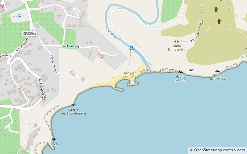
spiaggia Marinella is a place located in Cilento and Vallo di Diano National Park (Campania region) and belongs to the category of beach.
It is situated at an altitude of 20 feet, and its geographical coordinates are 40°1'46"N latitude and 15°17'50"E longitude.
Planning a visit to this place, one can easily and conveniently get there by public transportation. spiaggia Marinella is a short distance from the following public transport stations: Palinuro Bivio Mingardina Trivento (bus, 27 min walk).
Among other places and attractions worth visiting in the area are: Via Ficocella (beach, 16 min walk), Cape Palinuro (lighthouse, 31 min walk), Capo Palinuro Lighthouse, Pisciotta (lighthouse, 33 min walk).
Coordinates: 40°1'46"N, 15°17'50"E
Address
Cilento and Vallo di Diano National Park
ContactAdd
Social media
Add
Getting there by public transportation
Public transportation stops near this location
- Bus
 Bus
Bus
- Calculate routePalinuro Bivio Mingardina Trivento 27 min walk
Day trips


Frequently Asked Questions (FAQ)
How to get to spiaggia Marinella by public transport?
The nearest stations to spiaggia Marinella:
Bus
Bus
- Palinuro Bivio Mingardina Trivento • Lines: Infante (27 min walk)