Scuola della Carità, Padua
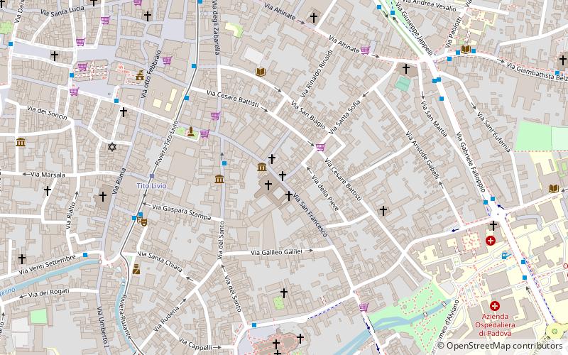
Map
Gallery
Facts and practical information
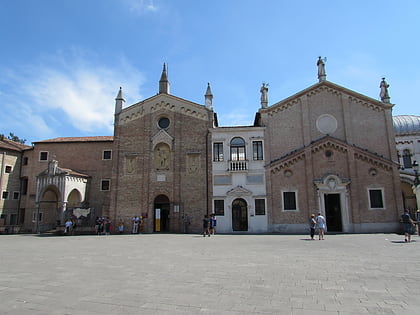
The Scuola della Carità is a building of medieval origin, used until the early 19th century for religious purposes. It faces Contrà dei porteghi alti, now Via San Francesco in Padua, opposite the church of San Francesco Grande to which it currently belongs. It was home to the Confraternita della Carità, a lay association devoted to the relief of the poor and infirm that flourished with the founding of the Hospital of San Francesco Grande.
Coordinates: 45°24'18"N, 11°52'52"E
Day trips
Scuola della Carità – popular in the area (distance from the attraction)
Nearby attractions include: Scuola del Santo, Basilica of Saint Anthony of Padua, Anatomical Theatre of Padua, Palazzo della Ragione.
Frequently Asked Questions (FAQ)
When is Scuola della Carità open?
Scuola della Carità is open:
- Monday closed
- Tuesday closed
- Wednesday closed
- Thursday 4 pm - 6 pm
- Friday 4 pm - 6 pm
- Saturday 10 am - 12 pm
- Sunday closed
Which popular attractions are close to Scuola della Carità?
Nearby attractions include San Francesco Grande, Padua (1 min walk), Chiesa di Santa Margherita, Padua (1 min walk), Palazzo Zabarella, Padua (3 min walk), Church of Santa Caterina, Padua (4 min walk).
How to get to Scuola della Carità by public transport?
The nearest stations to Scuola della Carità:
Bus
Tram
Train
Bus
- Via del Santo • Lines: 2 (3 min walk)
- Ponti Romani 8 • Lines: 11, 12, 13, 16, A, At, M (5 min walk)
Tram
- Tito Livio • Lines: Sir1 (5 min walk)
- Santo • Lines: Sir1 (9 min walk)
Train
- Padova (23 min walk)


