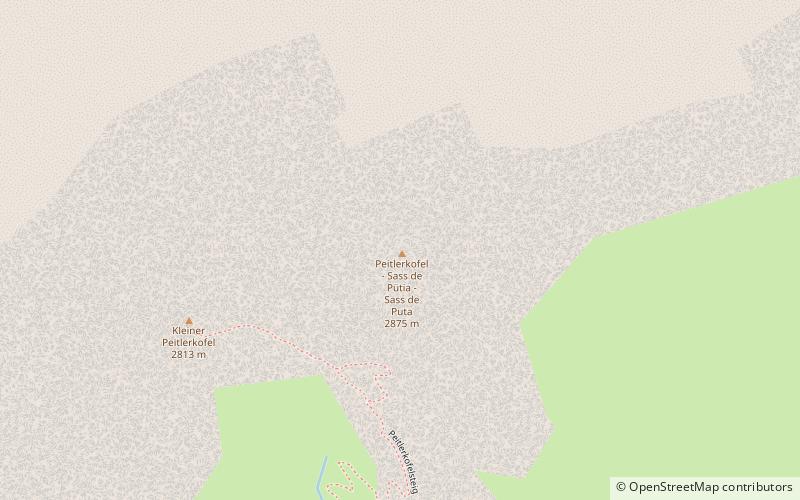
Peitlerkofel, Dolomites
Map

Map

Facts and practical information
The Peitlerkofel is a mountain of the Dolomites in South Tyrol, Italy. A solitary mountain, it stands between Val Badia to the east and the Villnöß valley to the west, in the very north of the Dolomites. It boasts two distinct summits, the Grosser Peitler and the Kleiner Peitler, which are divided by a deep ridge. ()
Address
Dolomites
ContactAdd
Social media
Add
Day trips
Peitlerkofel – popular in the area (distance from the attraction)
Nearby attractions include: Regensburger Hütte - Rifugio Firenze, Sass Rigais, Plose, Furchetta.
Frequently Asked Questions (FAQ)
How to get to Peitlerkofel by public transport?
The nearest stations to Peitlerkofel:
Bus
Bus
- Jü de Börz - Würzjoch - Passo delle Erbe • Lines: 339 (30 min walk)


