Piazza del Comune, Prato
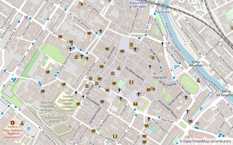
Map
Gallery
Facts and practical information
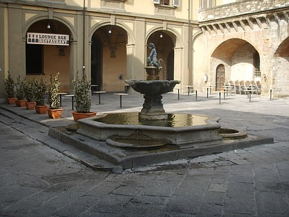
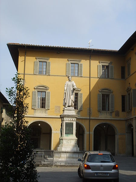
Piazza del Comune is one of the most famous squares in the city of Prato.
Of considerable medieval urban planning importance, it took on a prominent role in the latter period as the crossroads of the city's two road axes and the seat of power; it is precisely here that the City of Prato is still located today.
Coordinates: 43°52'50"N, 11°5'48"E
Address
Piazza del ComunePrato 59100
Contact
+39 0574 18361
Social media
Add
Day trips
Piazza del Comune – popular in the area (distance from the attraction)
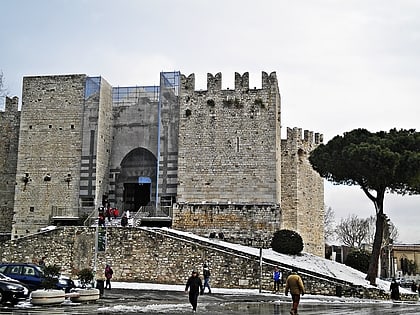
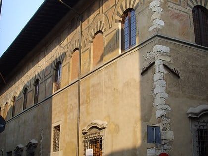
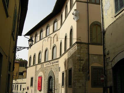
Nearby attractions include: Prato Cathedral Museum, Palazzo Pretorio, Castello dell'Imperatore, Palazzo Datini.
Frequently Asked Questions (FAQ)
Which popular attractions are close to Piazza del Comune?
Nearby attractions include Palazzo Datini, Prato (1 min walk), Fontana del Bacchino, Prato (1 min walk), Palazzo Comunale, Prato (1 min walk), Palazzo Pretorio, Prato (1 min walk).
How to get to Piazza del Comune by public transport?
The nearest stations to Piazza del Comune:
Train
Bus
Train
- Prato Porta al Serraglio (8 min walk)
- Prato Centrale (17 min walk)
Bus
- Europa 2 • Lines: LAM Rossa Galceti - Grignano, LAM Rossa Galceti - Le Badie, LAM Rossa Santa Lucia - Paperino (12 min walk)
- Tacca 1 • Lines: LAM Blu, LAM Rossa Galceti - Grignano, LAM Rossa Galceti - Le Badie, LAM Rossa Santa Lucia - Paperino, LAM Rossa Santa Lucia - San Gior (12 min walk)
