Museo del Ferro, Brescia
Map
Facts and practical information
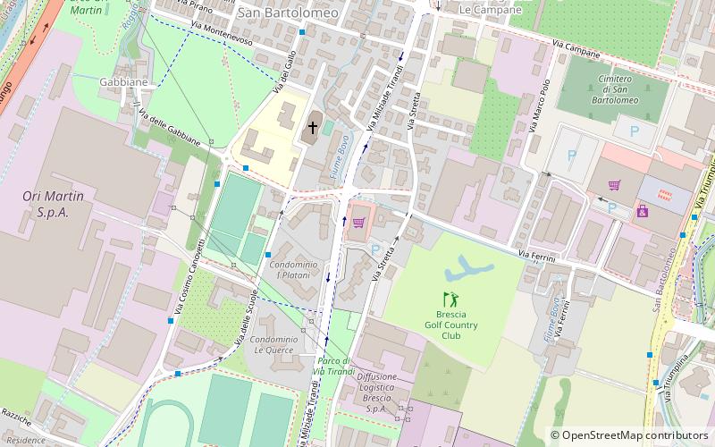
Museo del Ferro is a place located in Brescia (Lombardy region) and belongs to the category of museum.
It is situated at an altitude of 577 feet, and its geographical coordinates are 45°34'35"N latitude and 10°13'18"E longitude.
Planning a visit to this place, one can easily and conveniently get there by public transportation. Museo del Ferro is a short distance from the following public transport stations: Via Gadola 7-9 (bus, 7 min walk), Prealpino (metro, 11 min walk).
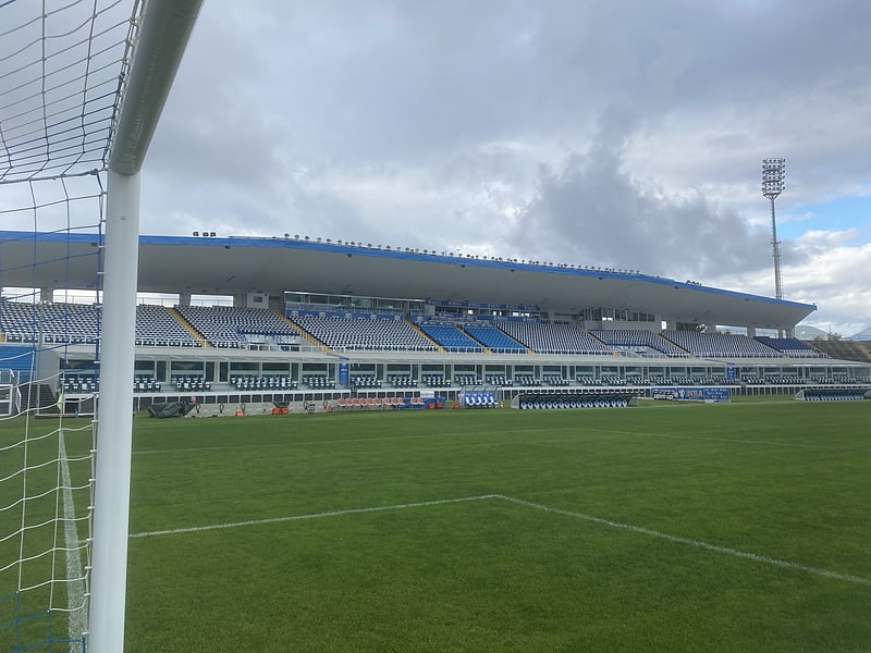
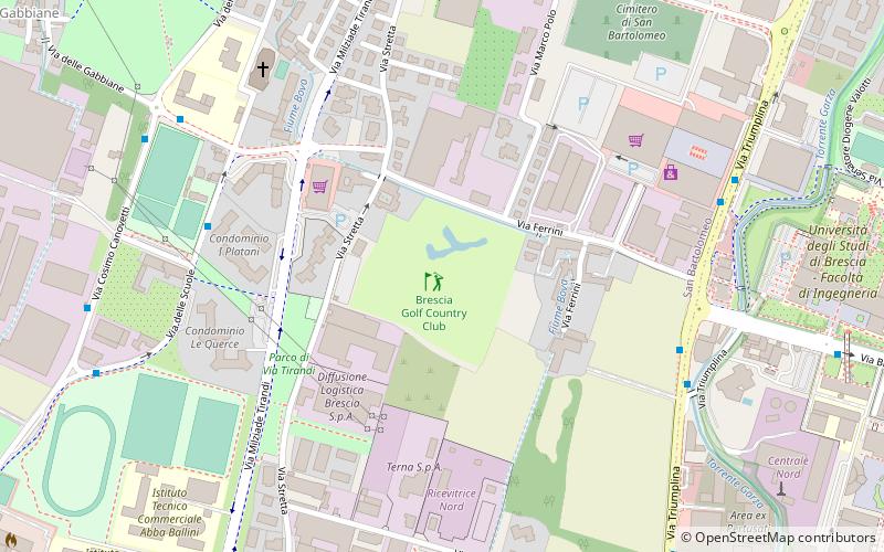
Among other places and attractions worth visiting in the area are: Simply (shopping, 19 min walk), Brescia Golf Country Club (outdoor activities, 21 min walk), Stadio Mario Rigamonti (sport venue, 22 min walk).
Coordinates: 45°34'35"N, 10°13'18"E
Getting there by public transportation
Public transportation stops near this location
- Metro
- Bus
 Metro
Metro
- Calculate routeVia Gadola 7-9 7 min walk
- Calculate routeVia L. Gadola fr. n 7/9 7 min walk
- Calculate routeVia Stretta n 181 8 min walk
- Calculate routePrealpino 11 min walk
- Calculate routeCasazza 11 min walk
- Calculate routeMompiano 24 min walk
- Calculate routeEuropa 30 min walk
Day trips
Frequently Asked Questions (FAQ)
How to get to Museo del Ferro by public transport?
The nearest stations to Museo del Ferro:
Bus
Metro
Bus
- Via Gadola 7-9 • Lines: 11 (7 min walk)
- Via L. Gadola fr. n 7/9 • Lines: 11 (7 min walk)
Metro
- Prealpino • Lines: Metropolitana (11 min walk)
- Casazza • Lines: Metropolitana (11 min walk)