Lake Campotosto, Gran Sasso e Monti della Laga National Park

Gallery (2)
Map

Map
Gallery
Facts and practical information
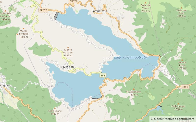
Lago di Campotosto is an artificial lake in Abruzzo, Italy. The reservoir is located at an elevation of 1,313 m and comprises an area of 14 square kilometres. It is located in the natural park known as the "Gran Sasso e Monti della Laga National Park". ()
Local name: Lago di Campotosto Area: 5.41 mi²Maximum depth: 125 ftElevation: 4573 ft a.s.l.Coordinates: 42°31'58"N, 13°22'2"E
Address
Gran Sasso e Monti della Laga National Park
ContactAdd
Social media
Add
Day trips

