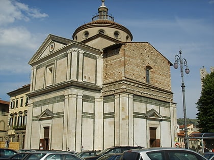
Church of the Capuchins, Prato
Map

Gallery
Facts and practical information
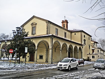
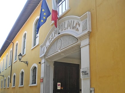
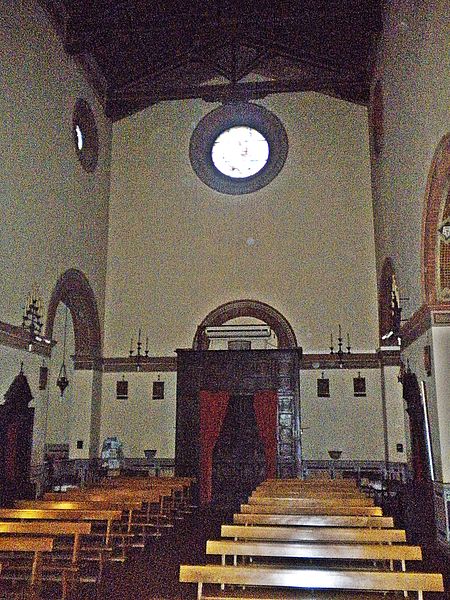
The Capuchin church and the adjoining convent in Prato stand on Diaz Street, near the beginning of the Capuchin climb.
Local name: Chiesa dei CappucciniCoordinates: 43°53'5"N, 11°6'35"E
Address
Via Armando Diaz, 15Prato 59100
ContactAdd
Social media
Add
Day trips
Church of the Capuchins – popular in the area (distance from the attraction)
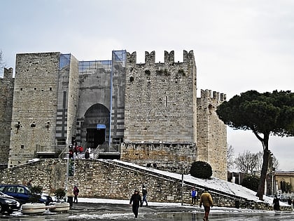
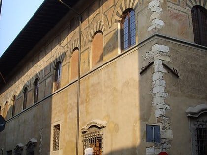
Nearby attractions include: Prato Cathedral Museum, Palazzo Pretorio, Castello dell'Imperatore, Palazzo Datini.
Frequently Asked Questions (FAQ)
Which popular attractions are close to Church of the Capuchins?
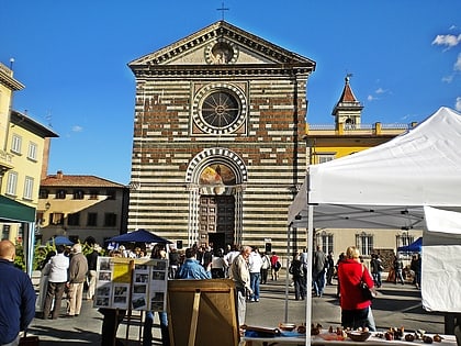
Nearby attractions include Santa Maria della Pietà, Prato (6 min walk), Chiesa di Sant'Anna in Giolica, Prato (6 min walk), Chiesa dell'Annunciazione, Prato (7 min walk), Parafarmacia La stazione, Prato (11 min walk).
How to get to Church of the Capuchins by public transport?
The nearest stations to Church of the Capuchins:
Train
Bus
Train
- Prato Centrale (11 min walk)
- Prato Porta al Serraglio (15 min walk)
Bus
- Tacca 1 • Lines: LAM Blu, LAM Rossa Galceti - Grignano, LAM Rossa Galceti - Le Badie, LAM Rossa Santa Lucia - Paperino, LAM Rossa Santa Lucia - San Gior (15 min walk)
- Europa 2 • Lines: LAM Rossa Galceti - Grignano, LAM Rossa Galceti - Le Badie, LAM Rossa Santa Lucia - Paperino (15 min walk)


