Lucrinus Lacus, Pozzuoli
Map

Map

Facts and practical information
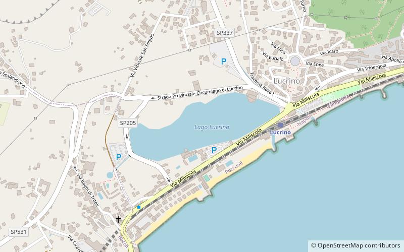
Lucrinus Lacus, or Lucrine Lake is a lake in Campania, southern Italy. It is less than one kilometre to the south of Lake Avernus and is separated from the Gulf of Pozzuoli by a narrow strip of land. Also known as the maricello, the size of present-day Lago Lucrino was significantly reduced by the rise of the volcanic cone of Monte Nuovo in 1538. The lake's modern dimensions are 1.5 kilometres long and about 5 metres deep. ()
Local name: Lago di Lucrino Area: 23.48 acres (0.0367 mi²)Length: 4921 ftMaximum depth: 16 ftElevation: 30 ft a.s.l.Coordinates: 40°49'45"N, 14°4'48"E
Address
Pozzuoli
ContactAdd
Social media
Add
Day trips
Lucrinus Lacus – popular in the area (distance from the attraction)
Nearby attractions include: Monte Nuovo, Lake Avernus, Fortino Tenaglia Lighthouse, Grotta di Cocceio.
Frequently Asked Questions (FAQ)
Which popular attractions are close to Lucrinus Lacus?
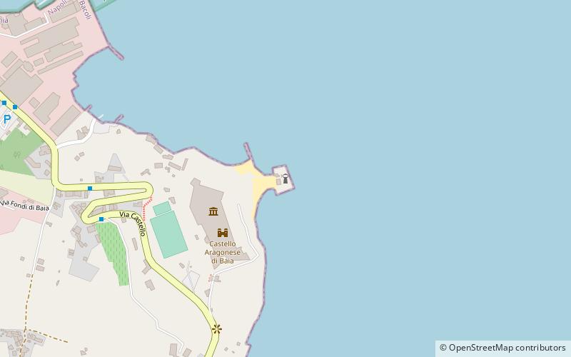
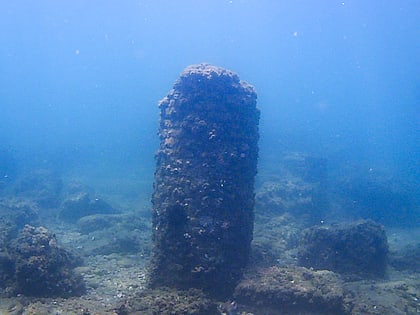
Nearby attractions include Parco Archeologico Sommerso di Baia, Pozzuoli (12 min walk), Monte Nuovo, Pozzuoli (15 min walk), Lake Avernus, Pozzuoli (18 min walk).
How to get to Lucrinus Lacus by public transport?
The nearest stations to Lucrinus Lacus:
Train
Bus
Train
- Lucrino (5 min walk)
- Arco Felice (30 min walk)
Bus
- Via Domitiana - Damiani • Lines: M1B, P2 (24 min walk)
- Via Montenuovo Licola Pa - Presso Edicola • Lines: P2 (24 min walk)


