Ponte del Paradiso, Venice
Map
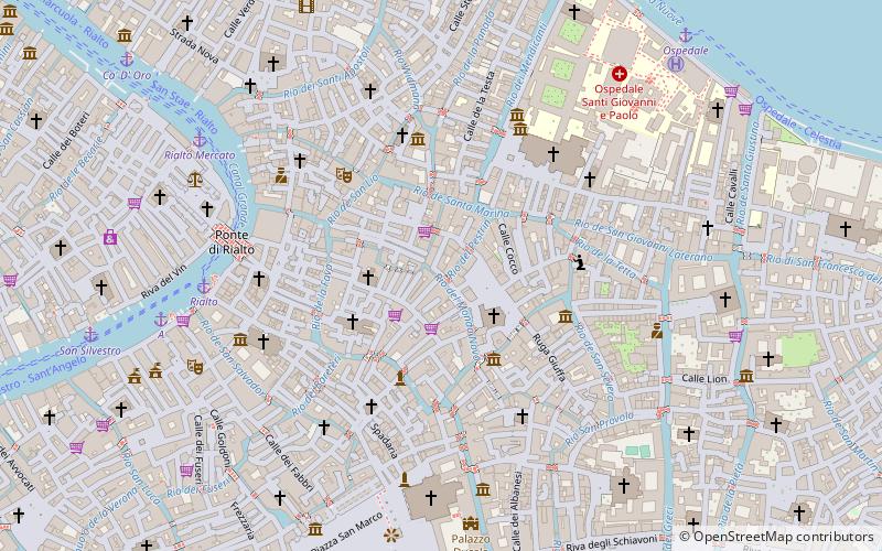
Map

Facts and practical information
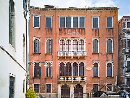
The Ponte del Paradiso is a bridge located in Venice, Italy. Crossing the Rio del Mondo Novo, the bridge is almost entirely constructed out of Istrian stone bricks while the steps are paved with Trachyte. It is located within Castello, the largest of the Venetian sestieres. The bridge is known for the unique arch on its southern side serving as an entrance to the Calle del Paradiso, an alley famous for its wooden overhanging eaves. ()
Day trips
Ponte del Paradiso – popular in the area (distance from the attraction)
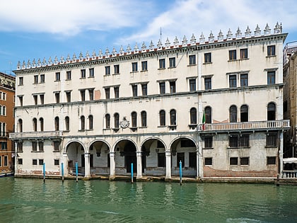
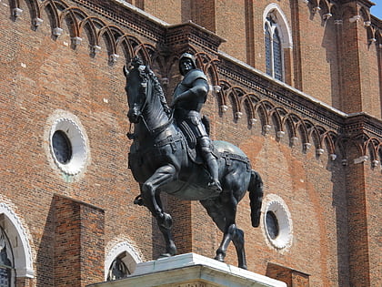
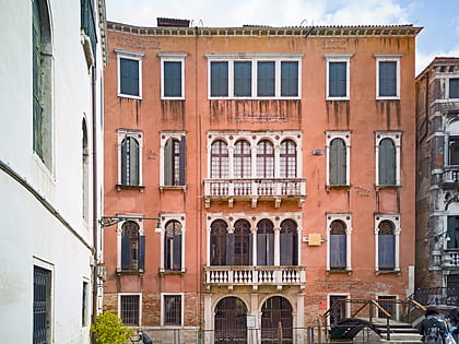
Nearby attractions include: Palazzo Trevisan Cappello, Palazzo Soranzo Van Axel, Santi Giovanni e Paolo, Fondaco dei Tedeschi.
Frequently Asked Questions (FAQ)
Which popular attractions are close to Ponte del Paradiso?
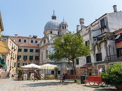
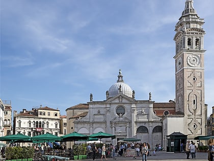
Nearby attractions include Campo Santa Maria Formosa, Venice (2 min walk), Casa Venier, Venice (2 min walk), Chiesa di Santa Maria Formosa, Venice (2 min walk), Taverna San Lio, Venice (2 min walk).
How to get to Ponte del Paradiso by public transport?
The nearest stations to Ponte del Paradiso:
Ferry
Train
Bus
Tram
Ferry
- Rialto • Lines: 1, 1/, 2, A (6 min walk)
- Rialto Mercato • Lines: 1, 1/ (7 min walk)
Train
- Venezia Santa Lucia (25 min walk)
- Piazzale Roma (28 min walk)
Bus
- Venezia B1 • Lines: 10, 19, 72 (26 min walk)
- Venezia A1 • Lines: 5 (26 min walk)
Tram
- Piazzale Roma • Lines: T1 (26 min walk)


