Pontine Marshes, Latina
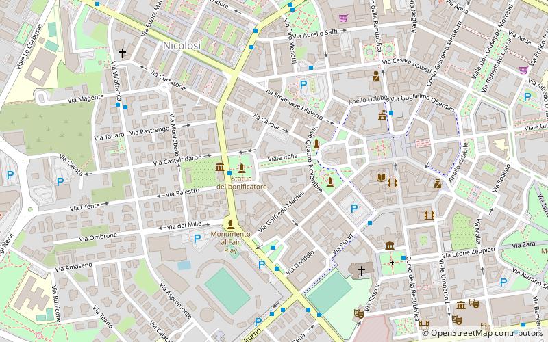
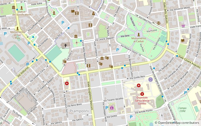
Map

Map

Facts and practical information
The Pontine Marshes is an approximately quadrangular area of former marshland in the Lazio Region of central Italy, extending along the coast southeast of Rome about 45 km from just east of Anzio to Terracina, varying in distance inland between the Tyrrhenian Sea and the Volscian Mountains from 15 to 25 km. The northwestern border runs approximately from the mouth of the river Astura along the river and from its upper reaches to Cori in the Monti Lepini. ()
Address
Latina
ContactAdd
Social media
Add
Day trips
Pontine Marshes – popular in the area (distance from the attraction)
Nearby attractions include: Stadio Domenico Francioni, Galleria Civica d'Arte Moderna e Contemporanea di Latina, Latina Cathedral, Torre Pontina.
Frequently Asked Questions (FAQ)
Which popular attractions are close to Pontine Marshes?
Nearby attractions include Museo civico Duilio Cambellotti, Latina (6 min walk), Latina Cathedral, Latina (6 min walk), Stadio Domenico Francioni, Latina (6 min walk), Torre Pontina, Latina (9 min walk).


