Lido, Venice

Facts and practical information
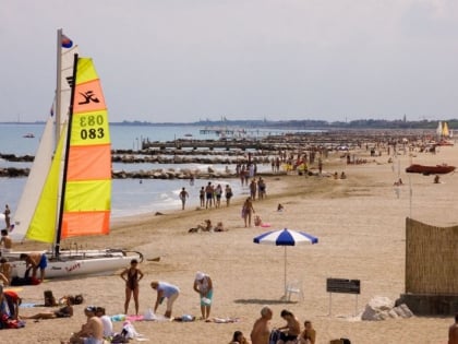
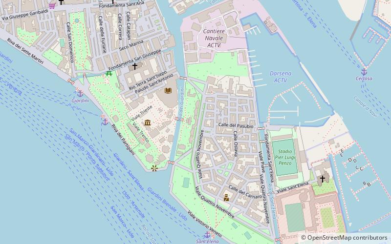
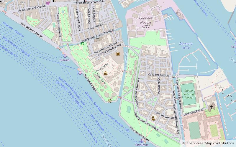
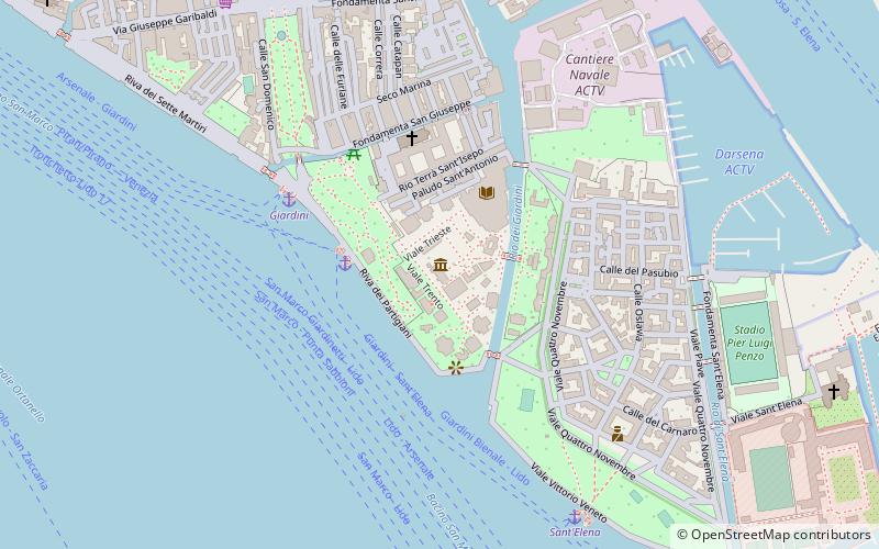
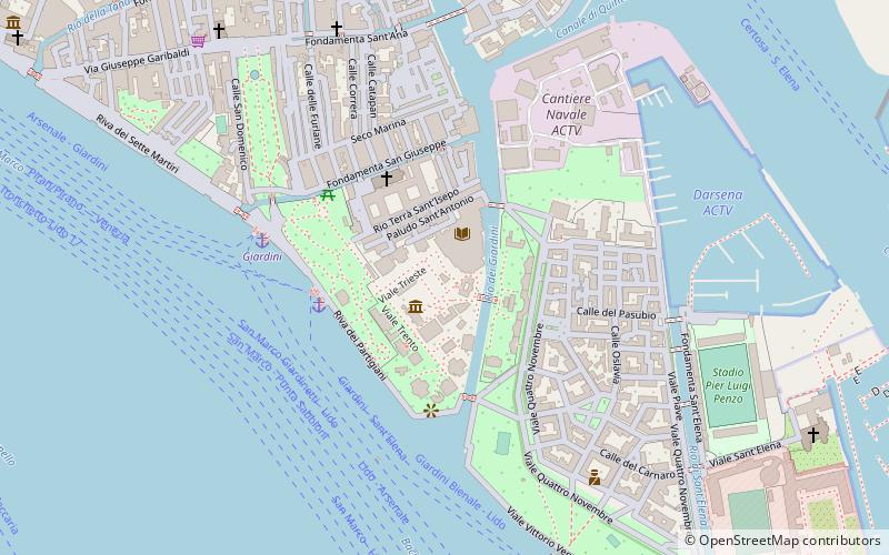
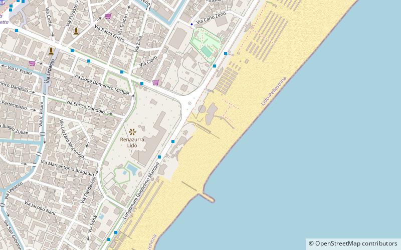
Lido is a place located in Venice (Veneto region) and belongs to the category of beach.
It is situated at an altitude of 0 feet, and its geographical coordinates are 45°24'50"N latitude and 12°22'36"E longitude.
Planning a visit to this place, one can easily and conveniently get there by public transportation. Lido is a short distance from the following public transport stations: Lido Santa Maria Elisabetta B (ferry, 13 min walk).
Among other places and attractions worth visiting in the area are: Lido (island, 11 min walk), San Nicolò al Lido (church, 25 min walk), Lazzaretto Vecchio (island, 26 min walk).
Venice
Lido – popular in the area (distance from the attraction)
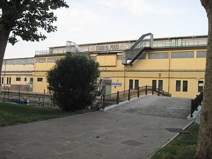
Nearby attractions include: Stadio Pier Luigi Penzo, Giardini della Biennale, Belgian Pavilion, Sant'Elena.
Frequently Asked Questions (FAQ)
How to get to Lido by public transport?
Ferry
- Lido Santa Maria Elisabetta B • Lines: 6 (13 min walk)
- Lido Santa Maria Elisabetta C • Lines: 1, 10, 14, B (13 min walk)
