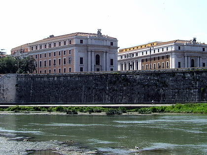
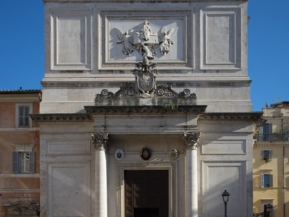
San Salvatore in Lauro, Rome
Map
Map

Facts and practical information
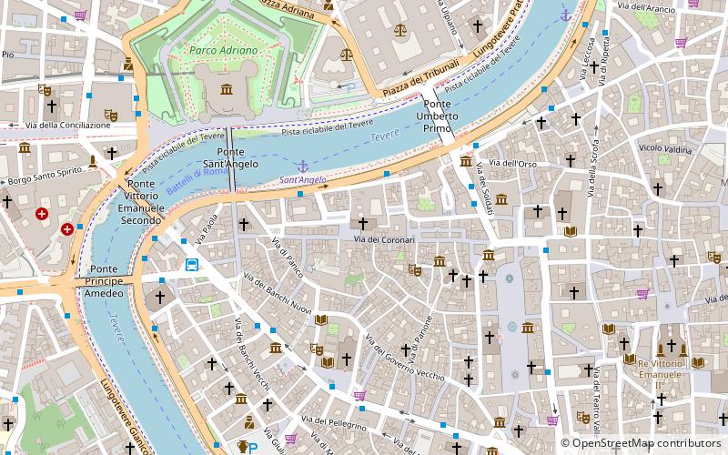
San Salvatore in Lauro is a Catholic church in central Rome, Italy. It is located on a piazza of the same name in the rione Ponte. It stands on Via Vecchiarelli, just south of the Lungotevere Tor di Nona and north of via dei Coronari. Within Rome, the church is also known as St. Jesus. It is the "national church" of the marchigiani, the inhabitants of the Marche region of Italy. The current protector of this titulus is Cardinal-Deacon Angelo Comastri. ()
Local name: Chiesa di San Salvatore in Lauro Architectural style: BaroqueCoordinates: 41°54'3"N, 12°28'11"E
Address
Piazza di S. Salvatore in LauroPonteRome 00186
Contact
+39 06 687 5187
Social media
Add
Day trips
San Salvatore in Lauro – popular in the area (distance from the attraction)
Nearby attractions include: Castel Sant'Angelo, Ponte Sant'Angelo, Piazza Navona, Palazzo Altemps.
Frequently Asked Questions (FAQ)
Which popular attractions are close to San Salvatore in Lauro?
Nearby attractions include Via dei Coronari, Rome (1 min walk), Santi Simone e Giuda, Rome (1 min walk), Lungotevere Tor di Nona, Rome (2 min walk), Chiostro del Bramante, Rome (3 min walk).
How to get to San Salvatore in Lauro by public transport?
The nearest stations to San Salvatore in Lauro:
Bus
Ferry
Tram
Metro
Train
Light rail
Bus
- Lgt Tor di Nona/Zanardelli • Lines: 280 (2 min walk)
- Zanardelli • Lines: 130F, 30, 492, 628, 70, 81, 87, C3, n6, n7 (4 min walk)
Ferry
- Sant'Angelo • Lines: Battelli di Roma (3 min walk)
- Ponte Cavour (10 min walk)
Tram
- Arenula/Cairoli • Lines: 8 (15 min walk)
- Risorgimento/S. Pietro • Lines: 19 (18 min walk)
Metro
- Lepanto • Lines: A (20 min walk)
- Ottaviano • Lines: A (22 min walk)
Train
- Roma San Pietro (22 min walk)
- Vatican City (25 min walk)
Light rail
- Flaminio • Lines: Fc3 (24 min walk)
 Metro / Tram / Rail


