Ponte Altinate, Padua

Map
Facts and practical information
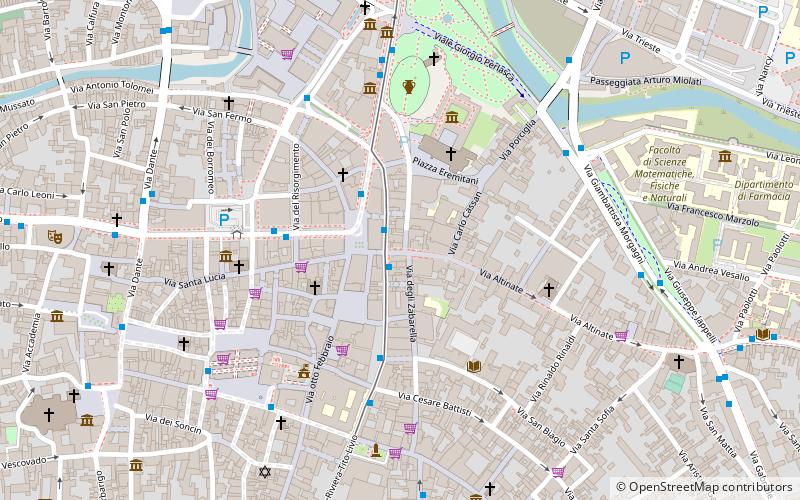
The Ponte Altinate is a Roman bridge in Padua, Italy. The late Republican bridge once spanned a branch of the Brenta river whose course is today followed by the street Riviera del Ponti Romani. The structure is located at the crossing with Via Altinate and, lying underground, completely obstructed from view by the modern pavement. ()
Length: 146 ftWidth: 25 ftCoordinates: 45°24'32"N, 11°52'44"E
Day trips
Ponte Altinate – popular in the area (distance from the attraction)
Nearby attractions include: Scrovegni Chapel, Anatomical Theatre of Padua, Palazzo della Ragione, Bo Palace.
Frequently Asked Questions (FAQ)
Which popular attractions are close to Ponte Altinate?
Nearby attractions include Conservatorio di musica Cesare Pollini, Padua (1 min walk), Church of Sant'Andrea, Padua (3 min walk), La Gatta, Padua (3 min walk), Ovetari Chapel, Padua (3 min walk).
How to get to Ponte Altinate by public transport?
The nearest stations to Ponte Altinate:
Bus
Tram
Train
Bus
- Porta Altinate • Lines: 11, 12, 13 (1 min walk)
- Ponti Romani 25 • Lines: 11, 12, 13, 16, 22, 3 (1 min walk)
Tram
- Tito Livio • Lines: Sir1 (8 min walk)
- Santo • Lines: Sir1 (15 min walk)
Train
- Padova (16 min walk)


