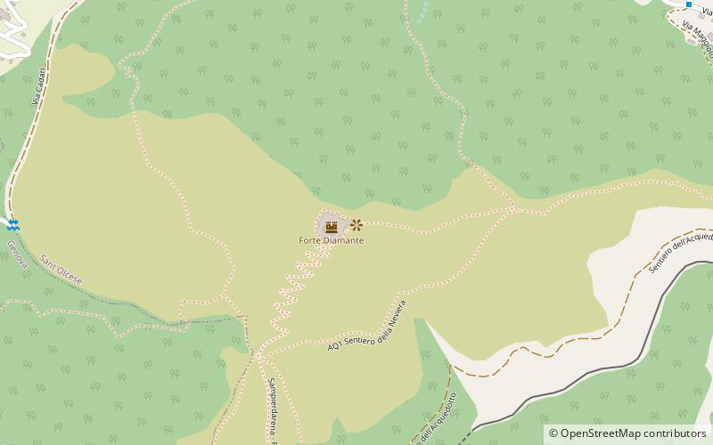
Forte Diamante, Genoa
Map

Map

Facts and practical information
Fort Diamante, located on the heights between the Polcevera and Bisagno Valleys, was named after the mountain on which it was erected between 1756 and 1758 at the proposal of engineer Jacques De Sicre, to guard the dominant terminal position of the ridge that developed north of the Sperone. Its function was, along with forts Fratello Maggiore, Fratello Minore and Puin, to protect the Spur as part of an advanced chain defense system, following the logic of the entrenched camp
Coordinates: 44°27'41"N, 8°56'24"E
Address
Genoa
ContactAdd
Social media
Add
Day trips
Forte Diamante – popular in the area (distance from the attraction)
Nearby attractions include: Cimitero Monumentale di Staglieno, Forte Sperone, Al Parko dei Dinosauri, San Pietro di Cremeno.
Frequently Asked Questions (FAQ)
How to get to Forte Diamante by public transport?
The nearest stations to Forte Diamante:
Train
Bus
Train
- Trensasco (15 min walk)
- Campi (21 min walk)
Bus
- Campora Capolinea • Lines: 275 (20 min walk)
- Chiesa Geminiano 9 • Lines: 275 (23 min walk)


