Porta San Marco, Livorno
Map
Gallery
Facts and practical information
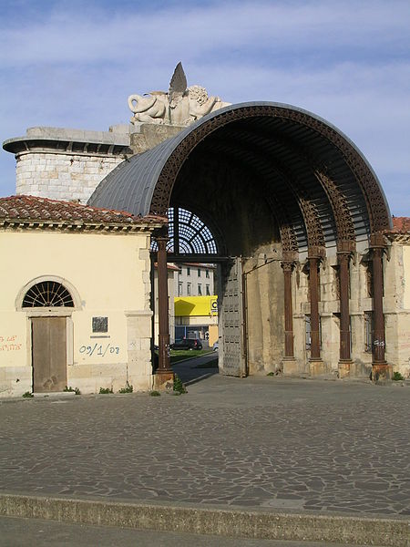
Porta San Marco was one of the gateways to Livorno's free port.
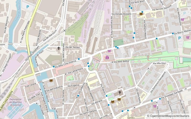
Located along the city's customary belt, on an axis with Via Solferino, it is situated near the former Leopolda Station. It is also flanked by the Barriera San Marco.
Coordinates: 43°33'37"N, 10°18'55"E
Address
Livorno
ContactAdd
Social media
Add
Day trips
Porta San Marco – popular in the area (distance from the attraction)
Nearby attractions include: Fortezza Vecchia, Mercato Centrale, Dutch German Church, Teatro La Gran Guardia.
Frequently Asked Questions (FAQ)
Which popular attractions are close to Porta San Marco?
Nearby attractions include Nuovo Cimitero degli Inglesi, Livorno (4 min walk), Church of San Giuseppe, Livorno (5 min walk), Fortezza Nuova, Livorno (11 min walk), Piazza Giuseppe Garibaldi, Livorno (12 min walk).
How to get to Porta San Marco by public transport?
The nearest stations to Porta San Marco:
Bus
Ferry
Train
Bus
- Piazza XI maggio • Lines: 10, 4, 5, 8N, 8R (2 min walk)
- Via della Cinta Esterna Piazza XI maggio • Lines: 5 (2 min walk)
Ferry
- Calata Carrara (19 min walk)
Train
- Livorno Centrale (29 min walk)


