Lama dei Peligni

Gallery (2)
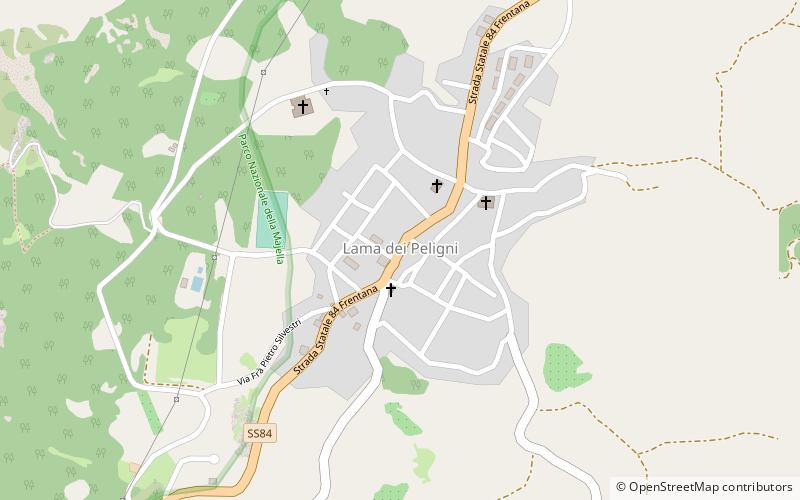
Map
Map
Gallery
Facts and practical information
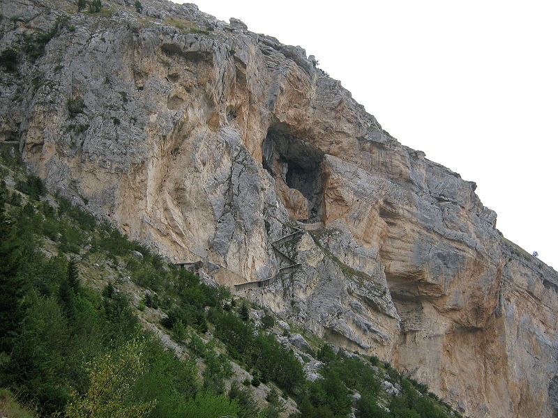
Lama dei Peligni is a comune and town in the Province of Chieti in the Abruzzo region of Italy of 1,155 inhabitants It is also part of the Aventino-Medio Sangro mountain community and the municipal territory is included in the Majella National Park. The town, known to naturalists as the country of chamois, is located in a florofaunal area of particular interest. ()
Day trips


