Lastebasse
#5705 among destinations in Italy
![Lastebasse location map](https://tzmedia.b-cdn.net/media/images/static-maps/it/45_9156_11_2714.jpg)
Facts and practical information
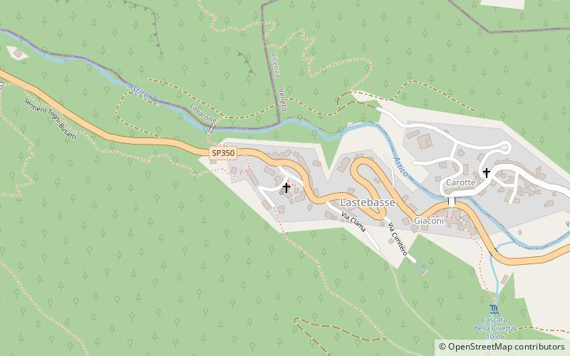
Lastebasse is a town in the province of Vicenza, Veneto, Italy. It is on SP350. As of 2007 Lastebasse had an estimated population of 247. ()
VenetoItaly
Lastebasse plan & book
Unleash the traveler in you — discover the cheapest flight deals, find the perfect hotel or hostel nearby, and search for the best car rental prices. Travel at your own pace to discover new places and enjoy your journey.
Lastebasse – popular in the area (distance from the attraction)
Nearby attractions include: Monte Campomolon, Rifugio Rumor, Lago di Lavarone, Forte Busa di Verle - Werk Verle.
3 miSNature, Natural attraction, MountainMonte Campomolon
76 min walk • Monte Campomolon is a mountain of the Veneto, Italy. It has an elevation of 1,853 metres.
3.3 miS 1.7 miNWOutdoor activities, LakeLago di Lavarone, Lavarone
44 min walk • Lake Lavarone is a small lake located on the plateau of the same name, in the province of Trento, at 1,079 meters above sea level. It has a surface area of 64,000 m² with a maximum depth of 17 meters.
4.4 miNEMuseumForte Busa di Verle - Werk Verle
113 min walk • Fort Verle is a military fortification, located on the Vezzena Plain at an altitude of 1,504 m above sea level in the province of Trento, not far from Fort Vezzena. The fort belongs to the large system of Austrian fortifications on the Italian...
6.3 miSECemeteryCimitero Austro-Ungarico, Tonezza del Cimone
160 min walk • The Austro-Hungarian cemetery in Tonezza del Cimone is a war cemetery located in Contrà Campana, Crosati, one kilometer from the town center.
5.6 miNENature, Lookout, Natural attractionForte Vezzena, Levico Terme
142 min walk • Fort Vezzena or Spitz di Levico, is located at an elevation of 1,908 m above sea level and is situated on the summit of Pizzo di Levico in the Province of Trento. The fort belongs to the large system of Austrian fortifications on the Italian border.
2.7 miELocalityLuserna
69 min walk • The town of Luserna is known for its rich history and well-preserved architecture. Visitors can explore the historic streets and alleys, lined with traditional Alpine houses and charming shops. The town's main square, Piazza Maggiore, is a bustling hub of activity...
3.6 miSENature, Natural attraction, MountainSpiz Tonezza
93 min walk • Spitz di Tonezza is a mountain on the Tonezza del Cimone Plateau in the Vicentine Prealps. It dominates the town of Tonezza del Cimone. The place name is derived from the Cimbrian and means point, pointed peak.
5.1 miN 4.1 miNWLocalityCenta San Nicolò
104 min walk • One of the main attractions in Centa San Nicolò is the opportunity to explore the Dolomites, a UNESCO World Heritage Site. Visitors can embark on scenic hikes, mountain biking adventures, or even rock climbing expeditions to fully immerse themselves in the stunning...
6 miNWLocalityVattaro
152 min walk • Vattaro is a comune in Trentino in the northern Italian region Trentino-Alto Adige/Südtirol, located about 11 kilometres southeast of Trento. As of 31 December 2004, it had a population of 1,111 and an area of 8.3 square kilometres.