Corso Italia, Genoa
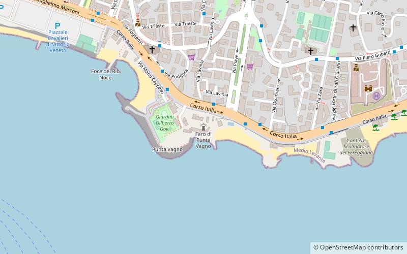
Map
Gallery
Facts and practical information
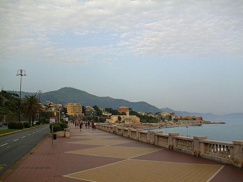
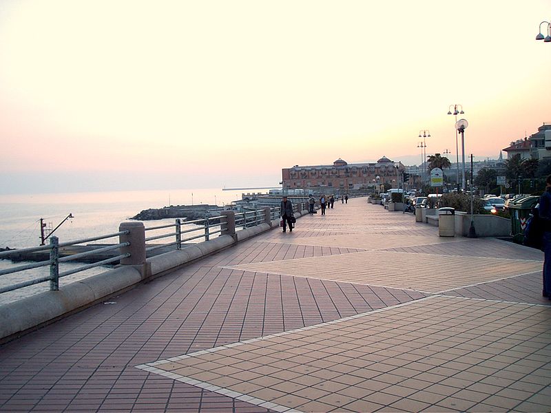
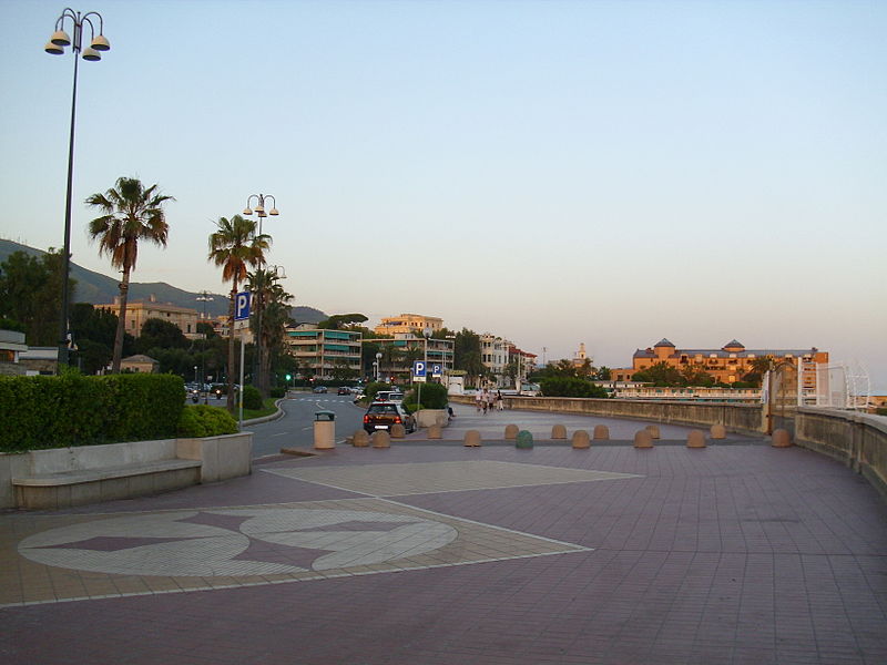
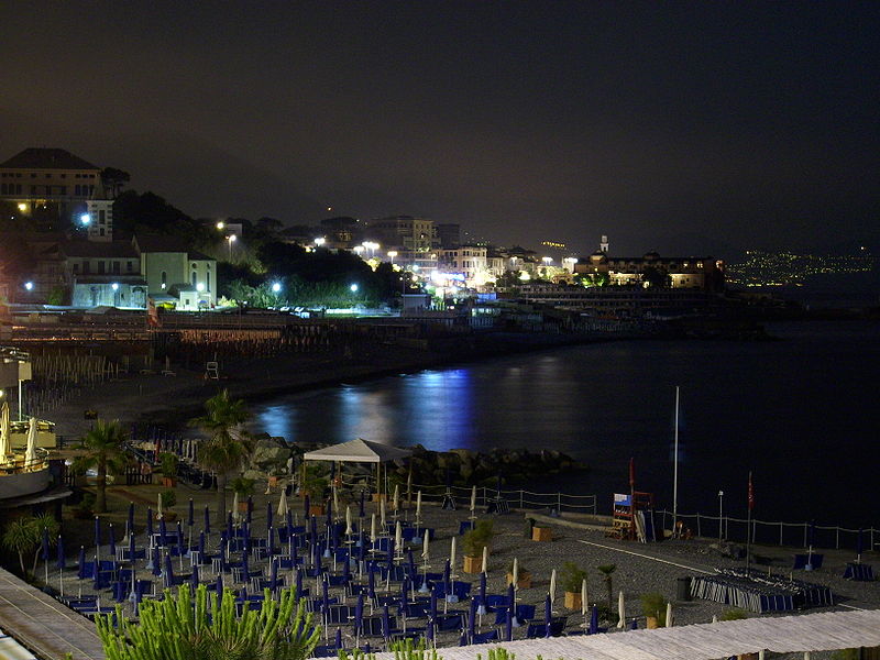
Corso Italia is the main promenade of Genoa, Italy. It's one of the main roads of the neighbourhood of Albaro, east of the city centre. About 2.5 kilometres long, the promenade connects the quartieri of Foce and Boccadasse. ()
Address
Genoa
ContactAdd
Social media
Add
Day trips
Corso Italia – popular in the area (distance from the attraction)
Nearby attractions include: Museo Villa Croce, Palazzo Clemente Della Rovere, Arco della Vittoria, Punta Vagno Lighthouse.
Frequently Asked Questions (FAQ)
Which popular attractions are close to Corso Italia?
Nearby attractions include Abbazia di San Giuliano, Genoa (5 min walk), Punta Vagno Lighthouse, Genoa (11 min walk), Chiesa di Santa Maria del Prato, Genoa (12 min walk), Boccadasse, Genoa (17 min walk).
How to get to Corso Italia by public transport?
The nearest stations to Corso Italia:
Bus
Train
Metro
Bus
- Italia 2 / Sauro • Lines: 31, 607 (3 min walk)
- Italia 4 / Sauro • Lines: 31, 607 (3 min walk)
Train
- Genova Sturla (28 min walk)
- Genova Brignole (32 min walk)
Metro
- Brignole • Lines: Metropolitana (32 min walk)


