Montjovet
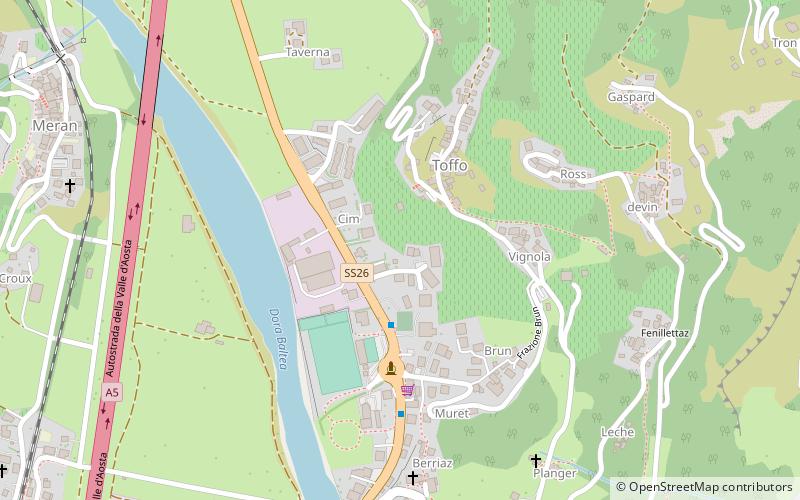
Map

Map

Facts and practical information
Montjovet is a town and comune in the Aosta Valley region of north-western Italy. Montjovet lies in the lower Aosta Valley, between France and Switzerland. Though it only has an area of 18.7 square kilometers, the commune has 50 villages and hamlets, and a number of hills, the highest of which is Mont Lyan, at 2174 metres. Historically, the parish was under the control of the Bishop of Aosta. The current main parish church, Parrocchia della Natività della Vergine Maria, opened in 1837. ()
Day trips
Montjovet – popular in the area (distance from the attraction)
Nearby attractions include: Verrès Castle, Issogne Castle, Graines Castle, Cly castle.


