Porto di Agropoli, Agropoli
Map
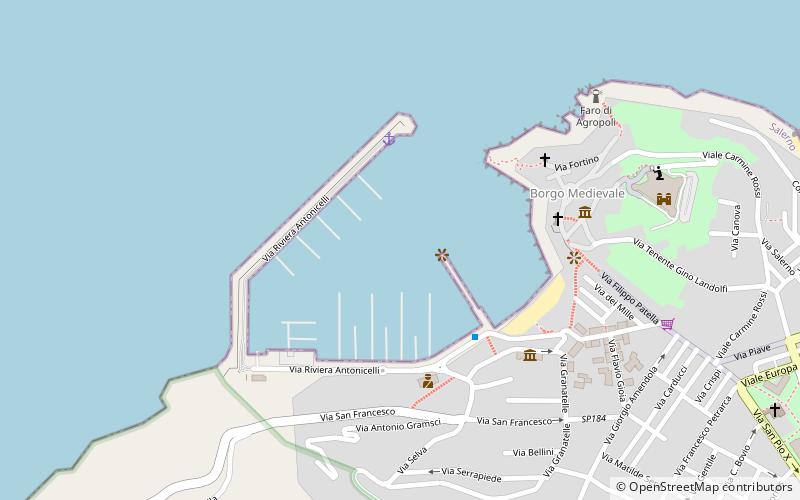
Map

Facts and practical information
Porto di Agropoli (address: Via porto) is a place located in Agropoli (Campania region) and belongs to the category of sailing, marina.
It is situated at an altitude of 0 feet, and its geographical coordinates are 40°21'9"N latitude and 14°58'58"E longitude.
Among other places and attractions worth visiting in the area are: Punta Fortino Lighthouse (lighthouse, 8 min walk), Tomb of the Diver, Paestum (archaeological site, 87 min walk), Monte Raione, Paestum (nature, 110 min walk).
Coordinates: 40°21'9"N, 14°58'58"E
Address
Via portoAgropoli
ContactAdd
Social media
Add
Day trips
Porto di Agropoli – popular in the area (distance from the attraction)
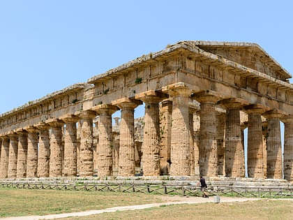
Nearby attractions include: Second Temple of Hera, Punta Fortino Lighthouse, Temple of Athena, Tomb of the Diver.

