Mutspitze - Monte Muta, Texelgruppe Nature Park
Map

Map

Facts and practical information
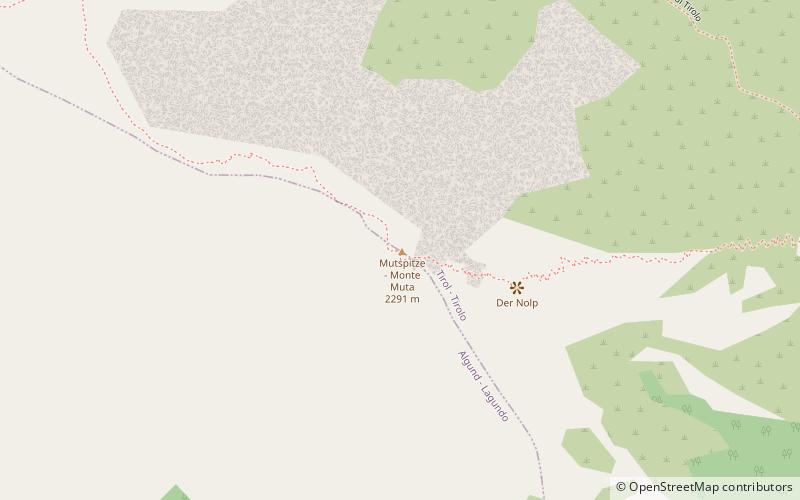
Mount Muta is a mountain in the Eastern Alps, more specifically in the Passeirie Alps, measuring 2291 meters. It is located north of Merano, in the southeastern part of the Tessa Group.
Address
Texelgruppe Nature Park
ContactAdd
Social media
Add
Day trips
Mutspitze - Monte Muta – popular in the area (distance from the attraction)
Nearby attractions include: Tyrol Castle, Lido Wasserpark Tirol, St. Nicholas' Church, Brunnenburg.
Frequently Asked Questions (FAQ)
How to get to Mutspitze - Monte Muta by public transport?
The nearest stations to Mutspitze - Monte Muta:
Bus
Bus
- Vellau - Velloi • Lines: 235 (32 min walk)


