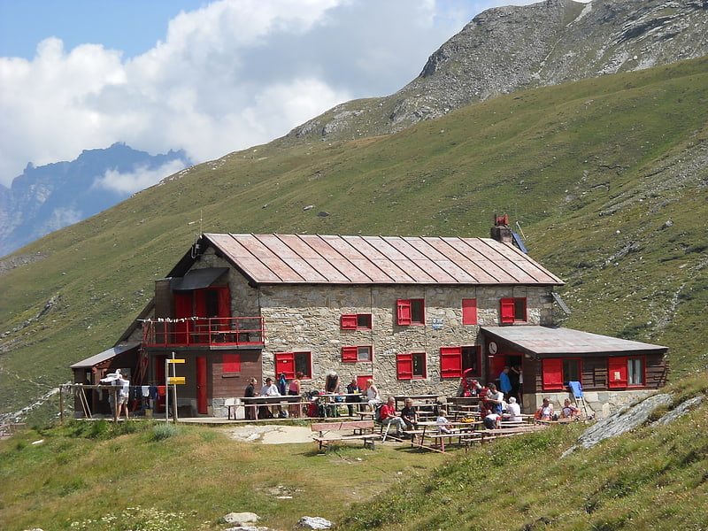
Cima di Entrelor

Gallery (1)
Map
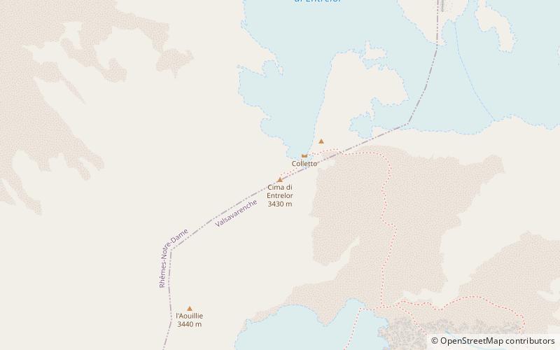
Map
Facts and practical information
Cima di Entrelor is a place located in Italy and belongs to the category of nature, natural attraction, mountain.
It is situated at an altitude of 11089 feet, and its geographical coordinates are 45°31'47"N latitude and 7°9'3"E longitude.
Among other places and attractions worth visiting in the area are: Mont Tout BlancRhêmes-Notre-Dame (mountain, 14 min walk), Punta LeynirRhêmes-Notre-Dame (mountain, 29 min walk), Punta BesRhêmes-Notre-Dame (mountain, 35 min walk).
Coordinates: 45°31'47"N, 7°9'3"E
Location
Aosta Valley
ContactAdd
Social media
Add
Day trips