Santa Maria del Fiore, Forlì


Facts and practical information
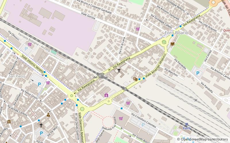
Santa Maria del Fiore (address: Via Ravegnana, 92) is a place located in Forlì (Emilia-Romagna region) and belongs to the category of church, sacred and religious sites.
It is situated at an altitude of 85 feet, and its geographical coordinates are 44°13'38"N latitude and 12°2'58"E longitude.
Planning a visit to this place, one can easily and conveniently get there by public transportation. Santa Maria del Fiore is a short distance from the following public transport stations: Forlì (train, 9 min walk), Piazzale Bandini (bus, 12 min walk).
Among other places and attractions worth visiting in the area are: Palazzo Orsi Mangelli (palace, 11 min walk), Abbazia di San Mercuriale (church, 13 min walk), Piazza Saffi (square, 14 min walk).
Via Ravegnana, 92Forlì 47122
Santa Maria del Fiore – popular in the area (distance from the attraction)
Nearby attractions include: Abbazia di San Mercuriale, Musei di San Domenico, Piazza Saffi, Parco via Dragoni.
Frequently Asked Questions (FAQ)
Which popular attractions are close to Santa Maria del Fiore?
How to get to Santa Maria del Fiore by public transport?
Train
- Forlì (9 min walk)
Bus
- Piazzale Bandini (12 min walk)


