Cantoniera di San Marco
Map

Gallery

Facts and practical information
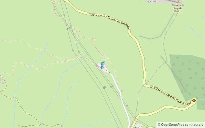
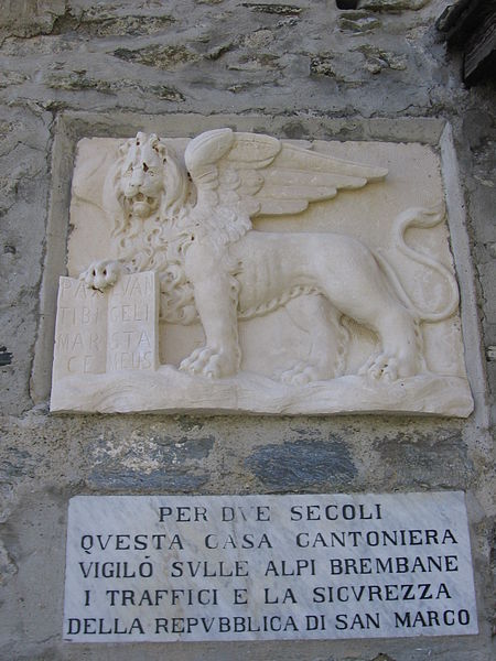
The Cà San Marco refuge is a refuge located in the municipality of Averara, Val Brembana, in the Orobian Alps, at 1,830 m above sea level.
Coordinates: 46°2'34"N, 9°37'37"E
Location
Località Cà San MarcoLombardy
ContactAdd
Social media
Add
Day trips
Cantoniera di San Marco – popular in the area (distance from the attraction)
Nearby attractions include: Monte Triomen, Monte Valletto, Santa Brigida, Cusio.


