Monti Cimini
Map
Map

Facts and practical information
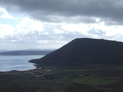
The Monti Cimini, in English: Cimini Hills, are a range of densely wooded volcanic hills approximately 56 km north-west of Rome. They are part of the Antiapennine range, facing the Apennines main range towards the Tyrrhenian Sea. They are situated in the centre of Tuscia Viterbese, the highest point at Mount Cimino, 1,053 m above sea level. Lake Vico, a volcanic crater lake, is situated in the hills. ()
Location
Lazio
ContactAdd
Social media
Add
Day trips
Monti Cimini – popular in the area (distance from the attraction)
Nearby attractions include: Villa Lante, Villa Farnese, Lake Vico, San Sisto.
