Isola Punta Faro, Lignano
Map

Map

Facts and practical information
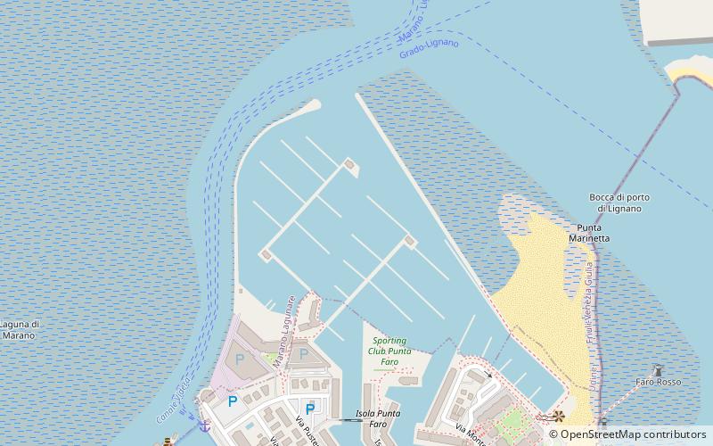
Isola Punta Faro (address: Via Monte Ortigara, 3) is a place located in Lignano (Friuli-Venezia Giulia autonomous region) and belongs to the category of sailing, marina.
It is situated at an altitude of -7 feet, and its geographical coordinates are 45°42'3"N latitude and 13°8'50"E longitude.
Among other places and attractions worth visiting in the area are: Darsena Porto Vecchio (sailing, 11 min walk), Doggy Beach Lignano Sabbiadoro (beach, 13 min walk), Lignano Riviera Pineta (neighbourhood, 49 min walk).
Coordinates: 45°42'3"N, 13°8'50"E
Day trips
Isola Punta Faro – popular in the area (distance from the attraction)
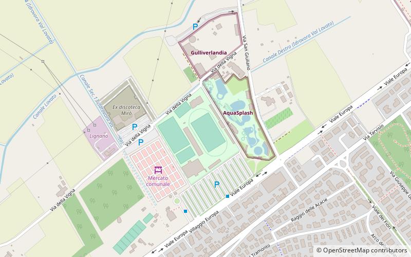
Nearby attractions include: Aqua Splash, Punta Tagliamento Lighthouse, Doggy Beach Lignano Sabbiadoro, Gulliverlandia.
Frequently Asked Questions (FAQ)
Which popular attractions are close to Isola Punta Faro?
Nearby attractions include Darsena Porto Vecchio, Lignano (11 min walk), Doggy Beach Lignano Sabbiadoro, Lignano (13 min walk).


