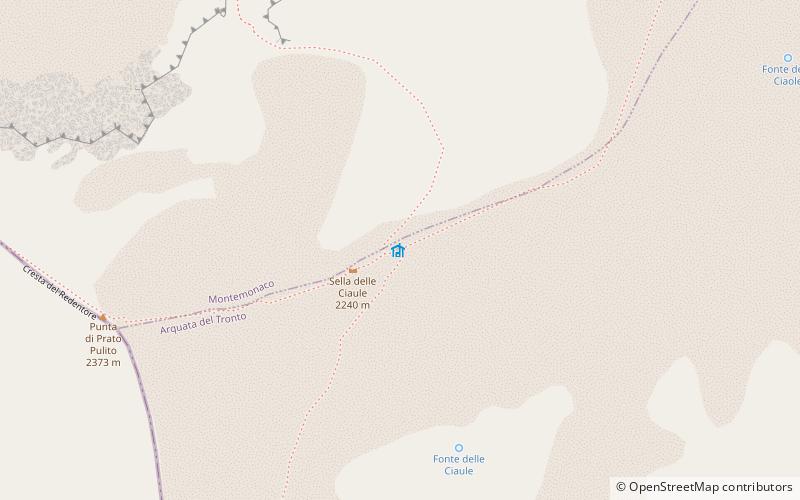
Rifugio Tito Zilioli, Arquata del Tronto
Map

Gallery

Facts and practical information
The Tito Zilioli bivouac is a mountain bivouac, located at 2,250 meters above sea level at Sella delle Ciaule near Forca di Presta, on Mount Vettore, enjoying a good strategic position for high-altitude hiking, being in the middle of the amphitheater of the Vettore group, between the Redentore peak and Mount Vettore itself, the highest peak of the Sibillini Mountains.
Coordinates: 42°49'3"N, 13°16'7"E
Day trips
Rifugio Tito Zilioli – popular in the area (distance from the attraction)
Nearby attractions include: Sibillini Mountains, Lago di Pilato, Monte Vettore, Cima del Redentore.
Frequently Asked Questions (FAQ)
Which popular attractions are close to Rifugio Tito Zilioli?
Nearby attractions include Lago di Pilato, Monti Sibillini National Park (3 min walk), Cima del Lago, Monti Sibillini National Park (13 min walk), Monte Vettore, Monti Sibillini National Park (15 min walk), Sibillini Mountains, Monti Sibillini National Park (15 min walk).


